Login

Forgotten password?

Cookies have to be accepted!
Your browser's cookie functionality is disabled. Please enable this functionality.

Not a member yet?

Register now
Login

Available for registred users only

Log in to use this feature.

Forgotten password?

Cookies have to be accepted!
Your browser's cookie functionality is disabled. Please enable this functionality.

Not a member yet?

Register now
Filter
Categories
Advanced filters
  • Distance (km)
  • Height
Save filters Reset filter

TrackRank

QRCode

Technical data

Distance64,4 km Height513 m Way down535 m Duration02:30 h:m Date14.08.2009
Scores Author Landscape Fun factor Fitness Technique

Statistics

421 Views 1 Score 72 Downloads 4.00 Average
Rate
  • Track data sheet
  • Directions
  • Downloads

Gestartet wird die Tour in Ließem (Marienstraße) am Parkplatz im alten Ortskern. Von hier aus geht es erstmal bergab in Richtung Rhein durch Lannesdorf und Mehlem.

Ab Mehlem geht es dann direkt am Rhein entlang über Rad- und Fußwege flach nach Remagen wo einen dann der erste aber relativ leichte Anstieg erwartet. Danach gibt es eine kurze Abfahrt  über Birresdorf und Nierendorf in Richtung Gimmingen, welches wir aber nicht durchfahren. Vorher geht es recht ab in Richtung Karweiler/Ringen, hier folgt ein weiterer aber leichterer Anstieg.

In Ringen angekommen folgt nur noch flaches bis leicht hügeliges Streckenprofil durch Meckenheim und Wachtberg, eigentlich ideal um zum Ende der Runde auszurollen.

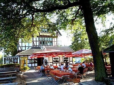
Tipp: Am Bahnhof Kottenforst und in Villiprott (Waldesruh) gibt es je einen Biergarten, wer also noch Zeit hat kann sich hier etwas Stärken.


Tour map and elevation profile

  • Open Street Map
  • Google
Minimum height 66 m Maximum height 251 m Detailed view

More about the tour author

Marki74
Member since 2009

Send private message

Comments

GPS tracks

Trackpoints
  • GPX / Garmin Map Source (gpx) download
  • TCX / Garmin Training Center® (tcx) download
  • CRS / Garmin Training Center® (crs) download
  • Google Earth (kml) download
  • G7ToWin (g7t) download
  • TTQV (trk) download
  • Overlay (ovl) download
  • Fugawi (txt) download
  • Kompass (DAV) Track (tk) download
  • Track data sheet (pdf) download
  • Original file of the author (gpx) download

More about the tour author

Marki74
Member since 2009

Send private message
Share track
Add to my favorites
Remove from my favorites
Edit tags
My score
Rate
Track: Feierabendrunde Rhein, Grafschaft, Wachtberg
Type: Road biking
Distance: 64,4 km
Evaluated on:
Duration:
Day(s)
Hour(s)
Minute(s)
Score: Landscape Fun factor Fitness Technique