Login

Forgotten password?

Cookies have to be accepted!
Your browser's cookie functionality is disabled. Please enable this functionality.

Not a member yet?

Register now
Login

Available for registred users only

Log in to use this feature.

Forgotten password?

Cookies have to be accepted!
Your browser's cookie functionality is disabled. Please enable this functionality.

Not a member yet?

Register now
Filter
Categories
Advanced filters
  • Distance (km)
  • Height
Save filters Reset filter

TrackRank

QRCode

Technical data

Distance20,7 km Height1121 m Way down1095 m Duration05:55 h:m Date15.08.2009
Scores Author Landscape Fun factor Fitness Technique

Statistics

324 Views Scores 32 Downloads Average
Rate
  • Track data sheet
  • Directions
  • Downloads
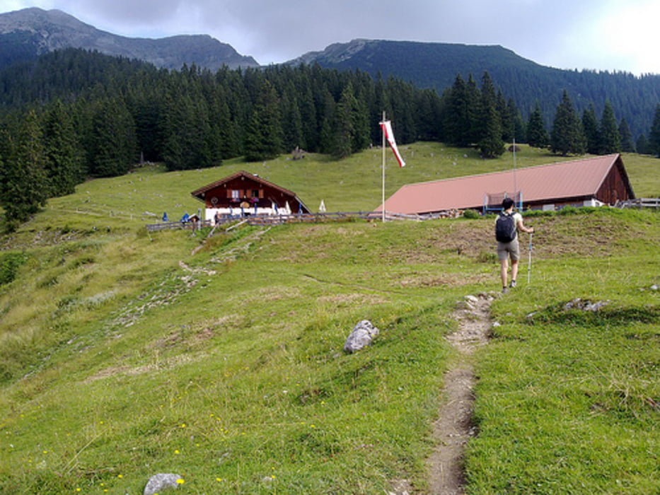
Itineraio semplice senza particolari difficolta'.

Tour gallery

Tour map and elevation profile

  • Open Street Map
  • Google
Minimum height 997 m Maximum height 1905 m Detailed view

More about the tour author

Slick
Member since 2009

Send private message

Comments

Dall' Italia si percorre la A22 fino al Brennerom e si prosegue fino quasi ad Insbruck. Prendere la A12 per circa 35 Km ed uscire all'uscita 113 direzione Herwald. Seguire le indicazioni.

Il sentiero inizia nei pressi del passaggio sulla ferrovia

Lat  47°24'16.87"N

Long  10°53'22.26"E

GPS tracks

Trackpoints
  • GPX / Garmin Map Source (gpx) download
  • TCX / Garmin Training Center® (tcx) download
  • CRS / Garmin Training Center® (crs) download
  • Google Earth (kml) download
  • G7ToWin (g7t) download
  • TTQV (trk) download
  • Overlay (ovl) download
  • Fugawi (txt) download
  • Kompass (DAV) Track (tk) download
  • Track data sheet (pdf) download
  • Original file of the author (gpx) download

More about the tour author

Slick
Member since 2009

Send private message
Share track
Add to my favorites
Remove from my favorites
Edit tags
My score
Rate
Track: Austria : Lermoos itinerario completo
Type: Mountain hiking
Distance: 20,7 km
Evaluated on:
Duration:
Day(s)
Hour(s)
Minute(s)
Score: Landscape Fun factor Fitness Technique