Login

Forgotten password?

Cookies have to be accepted!
Your browser's cookie functionality is disabled. Please enable this functionality.

Not a member yet?

Register now
Login

Available for registred users only

Log in to use this feature.

Forgotten password?

Cookies have to be accepted!
Your browser's cookie functionality is disabled. Please enable this functionality.

Not a member yet?

Register now
Filter
Categories
Advanced filters
  • Distance (km)
  • Height
Save filters Reset filter

TrackRank

QRCode

Technical data

Distance50,3 km Height271 m Way down271 m Duration02:30 h:m Date15.08.2009
Scores Author Landscape Fun factor Fitness Technique

Statistics

185 Views Scores 54 Downloads Average
Rate
  • Track data sheet
  • Directions
  • Downloads

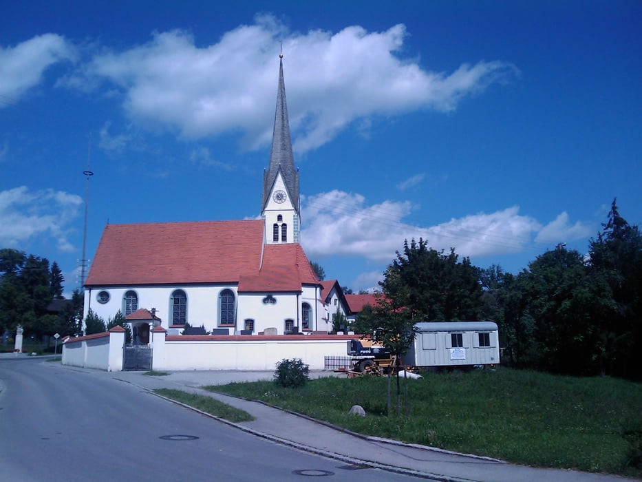
Schöne Runde im Südosten Landsbergs.

Der Weg führt nicht direkt nach Dießen, kann aber sicher beliebig dorthin verändert werden.

Ein paar Einkehrmöglichkeiten gibt es auch bspw direkt am Windachspeicher.

Tour gallery

Tour map and elevation profile

  • Open Street Map
  • Google
Minimum height 651 m Maximum height 774 m Detailed view

More about the tour author

mrwaxx
Member since 2008

Send private message

Comments

Start und Ziel ist das Bayertor in Landsberg.

GPS tracks

Trackpoints
  • GPX / Garmin Map Source (gpx) download
  • TCX / Garmin Training Center® (tcx) download
  • CRS / Garmin Training Center® (crs) download
  • Google Earth (kml) download
  • G7ToWin (g7t) download
  • TTQV (trk) download
  • Overlay (ovl) download
  • Fugawi (txt) download
  • Kompass (DAV) Track (tk) download
  • Track data sheet (pdf) download
  • Original file of the author (gpx) download

More about the tour author

mrwaxx
Member since 2008

Send private message
Share track
Add to my favorites
Remove from my favorites
Edit tags
My score
Rate
Track: Südostrunde III
Type: Road biking
Distance: 50,3 km
Evaluated on:
Duration:
Day(s)
Hour(s)
Minute(s)
Score: Landscape Fun factor Fitness Technique