


Ca 16 km ist diese Hochrhöner-Extratour.
Es gibt verschiedene Startmöglichkeiten für diese Tour. Diese sind:
- Haus der Schwarzen Berge in Oberbach
- Berghaus Rhön
- Würzburger Haus
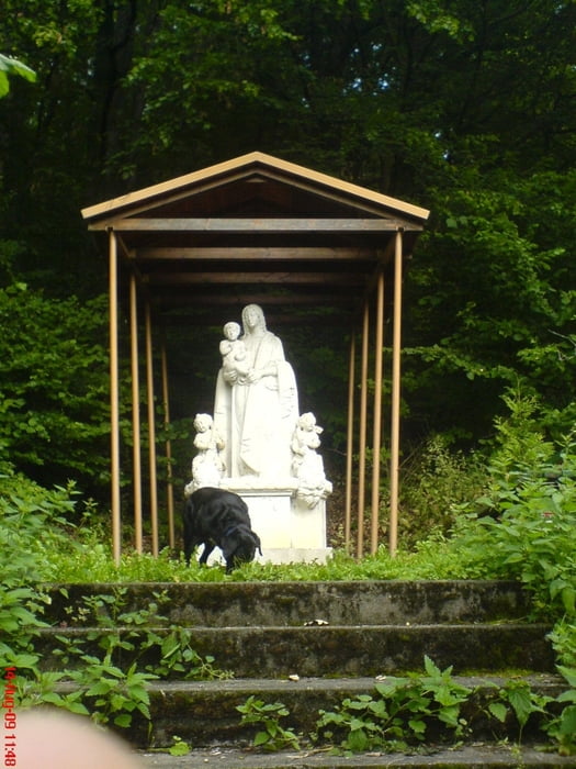
Tour gallery
Tour map and elevation profile
Minimum height 386 m
Maximum height 779 m
More about the tour author
|
|
oboe-kg |
Comments

GPS tracks
Trackpoints-
GPX / Garmin Map Source (gpx) download
-
TCX / Garmin Training Center® (tcx) download
-
CRS / Garmin Training Center® (crs) download
-
Google Earth (kml) download
-
G7ToWin (g7t) download
-
TTQV (trk) download
-
Overlay (ovl) download
-
Fugawi (txt) download
-
Kompass (DAV) Track (tk) download
-
Track data sheet (pdf) download
-
Original file of the author (gpx) download
More about the tour author
|
|
oboe-kg |
Add to my favorites
Remove from my favorites
Edit tags
Open track
My score
Rate