


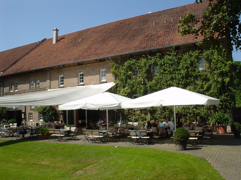
Die Tour entspricht teilweise der Tour6 der Paderborner Radtouren "Stille Wege durch Wiesen und Moore". Sie startet am Padersee und führt über Elsen und Scharmede nach Thüle. Über das Gut Ringelsbruch gehts zurück nach Paderborn. Die Tour ist leicht zu fahren und hat so gut wie keine Höhenmeter. Die Route führt meist über asphaltiete Radwege. Nur beim Thüler Moor geht es einmal über einen ziemlich zugewachsenen Wiesenweg.
Tour gallery

Tour map and elevation profile
Minimum height 86 m
Maximum height 141 m
More about the tour author
|
|
ralph.trapp |
Comments

Über den Heinz-Nixdorf-Ring fährt man Richtung HNF (Heinz Nixdorf Museumsforum).
Bei der Abfahrt HNF kann man links Richtung Schloss Neuhaus auf dem Parkplatz direkt am Ring parken. Alternativ nimmt man die Abfahrt Schloss Neuhaus von der A33 und fährt Richtung Paderborn bis man direkt am Ring rechts den gleichen Parkplatz sieht. Von dort gelangt man direkt zum Padersee.
GPS tracks
Trackpoints-
GPX / Garmin Map Source (gpx) download
-
TCX / Garmin Training Center® (tcx) download
-
CRS / Garmin Training Center® (crs) download
-
Google Earth (kml) download
-
G7ToWin (g7t) download
-
TTQV (trk) download
-
Overlay (ovl) download
-
Fugawi (txt) download
-
Kompass (DAV) Track (tk) download
-
Track data sheet (pdf) download
-
Original file of the author (gpx) download
More about the tour author
|
|
ralph.trapp |
Add to my favorites
Remove from my favorites
Edit tags
Open track
My score
Rate