
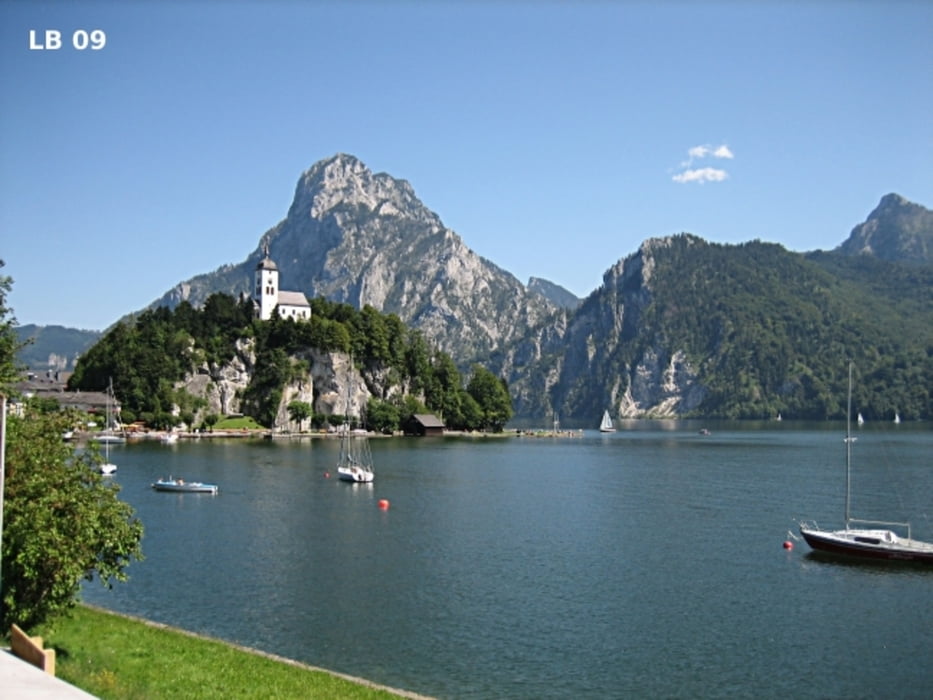

Die Radtour um das Tote Gebirge in der Obersteiermark und durch Oberösterreich hat zwar keinen Pass der über 1.000m hoch ist, aber mit den kleinen Pässen und einer Vielzahl kurzer Steigungen kommen auch 2.144 Höhenmeter zusammen. Aufgrund der Länge von 206 Kilometern ist sie für Hobbyfahrer eindeutig mit dem Schwierigkeitsgrad 5+ zu bewerten. Als Gegenleistung für die ganze Anstrengung auf der Radtour im Salzkammergut erwartet die Radfahrer eine Vielzahl an Sehenswürdigkeiten. Wie z.B. Grimming, Ausseerland, Weltnaturerberegion Hallstättersee, Bad Goisern, Bad Ischl, Traunsee, Gmunden und die Aussicht auf die Berge des Nationalparks Kalkalpen.
weitere Infos, Fotos und Videos zur Radtour im Salzkammergut findet ihr auf
biketours4you.at
Tour map and elevation profile
Minimum height 409 m
Maximum height 955 m
More about the tour author
|
|
Trek1400d |
Comments

GPS tracks
Trackpoints-
GPX / Garmin Map Source (gpx) download
-
TCX / Garmin Training Center® (tcx) download
-
CRS / Garmin Training Center® (crs) download
-
Google Earth (kml) download
-
G7ToWin (g7t) download
-
TTQV (trk) download
-
Overlay (ovl) download
-
Fugawi (txt) download
-
Kompass (DAV) Track (tk) download
-
Track data sheet (pdf) download
-
Original file of the author (gpx) download
More about the tour author
|
|
Trek1400d |
Add to my favorites
Remove from my favorites
Edit tags
Open track
My score
Rate