


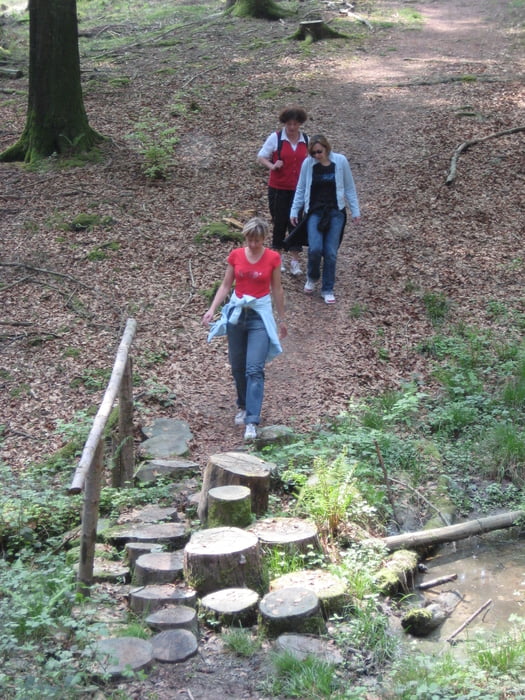
Der HRS Wanderweg ist ein schöner Weg, der die drei Städte Haigerloch, Rosenfeld und Schömberg miteinander verbinde.
Der Weg ist als Rundwanderweg angelegt, kann aber auch in Etappen erwandert werden. hier ist der Teil von Schömberg nach Haigerloch dargestellt. der Wanderer kann z. B. am Stausee in Schömberg starten und im Kurort Bad Imnau den Tag mit einem köstlichen Abendessen oder gar einer Übernachtung die Wanderung beenden.
Tour gallery
Tour map and elevation profile
Minimum height 397 m
Maximum height 670 m
More about the tour author

|
Haigerloch |
Comments

Entweder über die B27 nach Schömberg und von dort nach Haigerloch oder über die A81 Ausfahrt Empfingen/Haigerloch nach Bad Imnau und von dort nach Schömberg.
GPS tracks
Trackpoints-
GPX / Garmin Map Source (gpx) download
-
TCX / Garmin Training Center® (tcx) download
-
CRS / Garmin Training Center® (crs) download
-
Google Earth (kml) download
-
G7ToWin (g7t) download
-
TTQV (trk) download
-
Overlay (ovl) download
-
Fugawi (txt) download
-
Kompass (DAV) Track (tk) download
-
Track data sheet (pdf) download
-
Original file of the author (gpx) download
More about the tour author
|
|
Haigerloch |
Add to my favorites
Remove from my favorites
Edit tags
Open track
My score
Rate