Login

Forgotten password?

Cookies have to be accepted!
Your browser's cookie functionality is disabled. Please enable this functionality.

Not a member yet?

Register now
Login

Available for registred users only

Log in to use this feature.

Forgotten password?

Cookies have to be accepted!
Your browser's cookie functionality is disabled. Please enable this functionality.

Not a member yet?

Register now
Filter
Categories
Advanced filters
  • Distance (km)
  • Height
Save filters Reset filter

TrackRank

QRCode

Technical data

Distance45,2 km Height1637 m Way down1616 m Duration04:30 h:m Date23.08.2009
Scores Author Landscape Fun factor Fitness Technique

Statistics

1599 Views Scores 329 Downloads Average
Rate
  • Track data sheet
  • Directions
  • Downloads
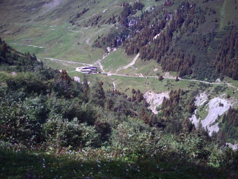
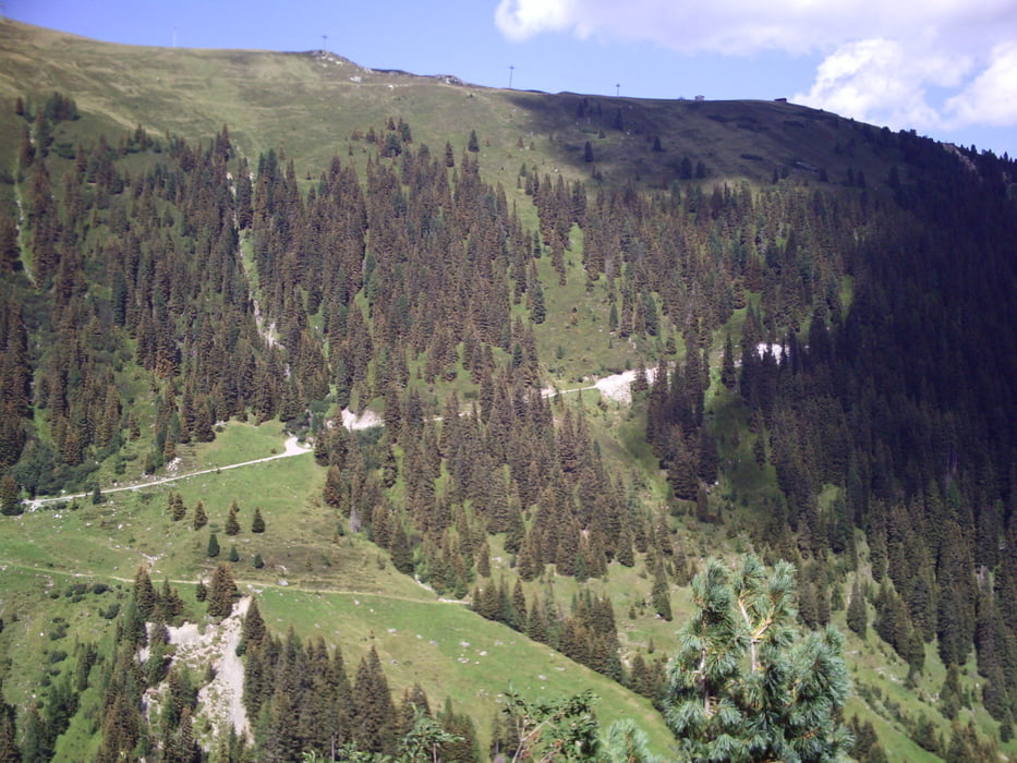
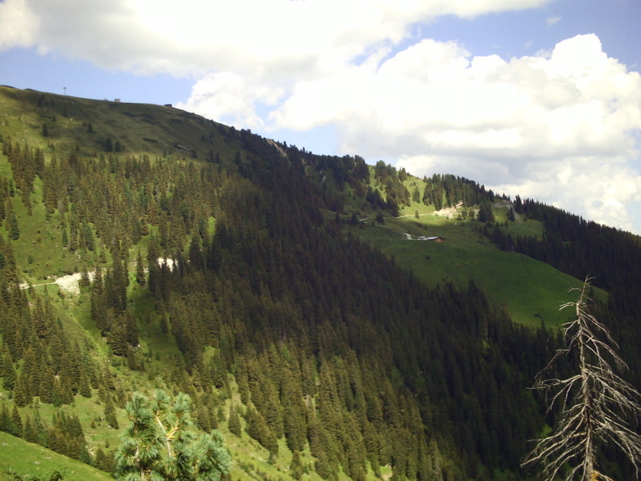
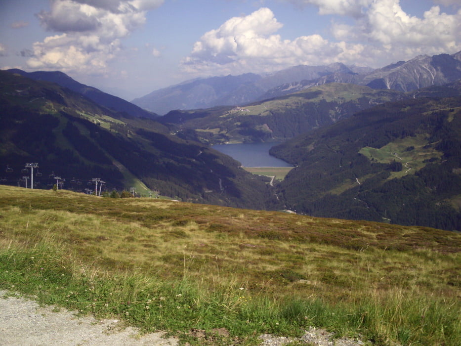
Gestartet wurde am Parkplatz der Isskogelbahn in Gerlos. Von dort ging es die Bundesstraße (B165) bergab über Gerlos, Gmünd, Hainzenberg Richtung Zell am Ziller. Kurz vor den ersten Häusern in Zell rechts den Gerlosberg hinauf. Auf Asphalt und Schotter bis zur Kreuzwiesenhütte (1880m Einkehrmöglichkeit), dann über  Ausser- und Innerertensalm sowie Ebenfeldalm zurück nach Gerlos zum Startpunkt.

Tour gallery

Tour map and elevation profile

  • Open Street Map
  • Google
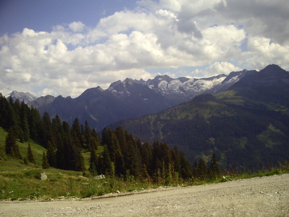
Minimum height 627 m Maximum height 2005 m Detailed view

More about the tour author

marcatibiza
Member since 2009

Send private message

Comments

GPS tracks

Trackpoints
  • GPX / Garmin Map Source (gpx) download
  • TCX / Garmin Training Center® (tcx) download
  • CRS / Garmin Training Center® (crs) download
  • Google Earth (kml) download
  • G7ToWin (g7t) download
  • TTQV (trk) download
  • Overlay (ovl) download
  • Fugawi (txt) download
  • Kompass (DAV) Track (tk) download
  • Track data sheet (pdf) download
  • Original file of the author (gpx) download

More about the tour author

marcatibiza
Member since 2009

Send private message
Share track
Add to my favorites
Remove from my favorites
Edit tags
My score
Rate
Track: Panoramatour Gerlos
Type: Mountain bike
Distance: 45,2 km
Evaluated on:
Duration:
Day(s)
Hour(s)
Minute(s)
Score: Landscape Fun factor Fitness Technique