
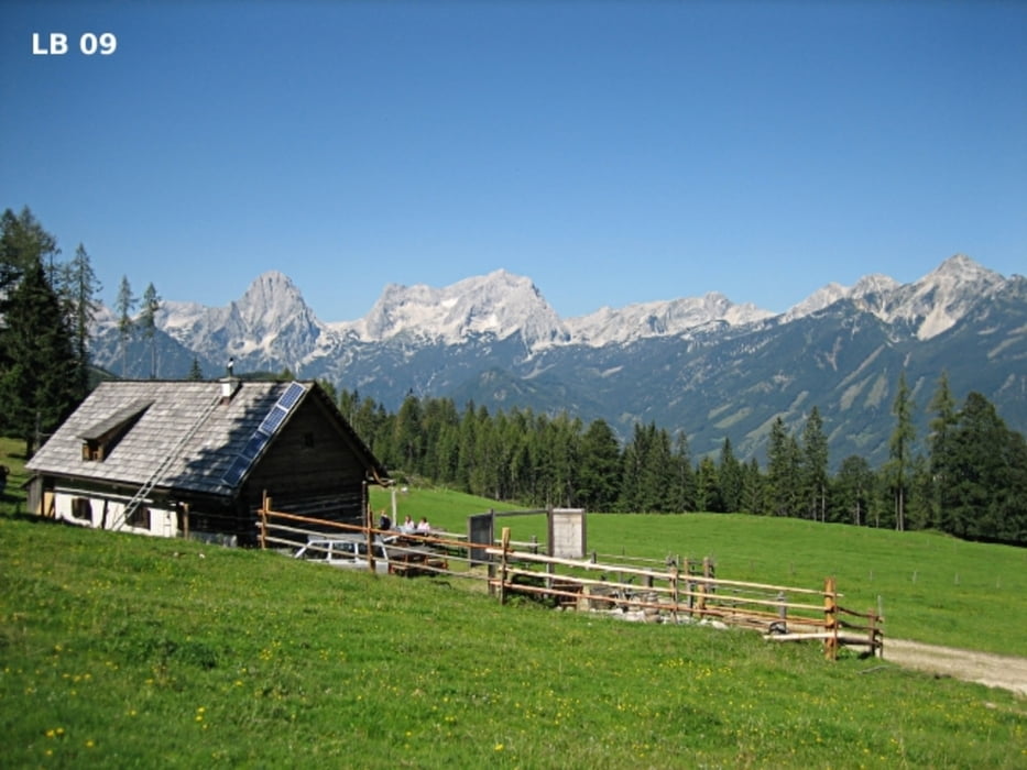

Die MTB - Tour Hinterstoder ist eine mittelschwere und sehr erlebnisreiche Mountainbikerunde im Stodertal mit sehr markanten Bergen, die eine für diese Mountainbike Tour eine sehr schöne Kulisse bilden. Alle Straßen und Forstwege sind mit Ausnahme der Abfahrt entlang des Felsens von der Edtbauernalm ins Untere Rottal ohne große technische Anforderungen zu befahren. Die MTB - Tour Hinterstoder Höss ist eine offizielle Mountainbike Tour, die noch dazu sehr gut beschildert ist.
Weitere Infos, Fotos und Videos zur MTB - Tour Hinterstoder Höss findest du auf
biketours4you.at
Tour gallery
Tour map and elevation profile
Minimum height 586 m
Maximum height 1411 m
More about the tour author
|
|
Trek1400d |
Comments

GPS tracks
Trackpoints-
GPX / Garmin Map Source (gpx) download
-
TCX / Garmin Training Center® (tcx) download
-
CRS / Garmin Training Center® (crs) download
-
Google Earth (kml) download
-
G7ToWin (g7t) download
-
TTQV (trk) download
-
Overlay (ovl) download
-
Fugawi (txt) download
-
Kompass (DAV) Track (tk) download
-
Track data sheet (pdf) download
-
Original file of the author (gpx) download
More about the tour author
|
|
Trek1400d |
Add to my favorites
Remove from my favorites
Edit tags
Open track
My score
Rate