
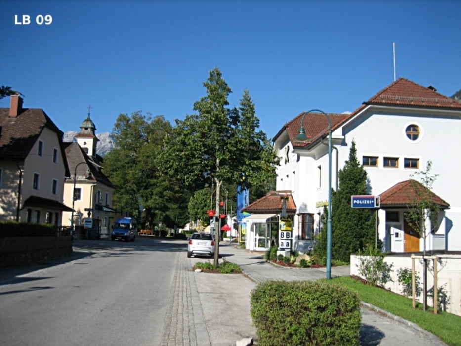

Von Windischgarsten führt die Radtour Stodertal über Roßleithen und Vorderstoder ins landschaftlich sehr schöne Stodertal nach Hinterstoder und Hinterberg Bezirk Kirchdorf an der Krems - Oberösterreich. Vor allem die höchsten Berge im Toten Gebirge ( z.B. Großer Priel 2.514m und Spitzmauer 2.446m ) sind sehr sehenswert. Die Radtour Stodertal kann auch sehr gut an die individuelle Kondition angepasst werden. So ist es ohne weiteres möglich z.B das Hintertal auszulassen, oder die Bergwertung auf der Höss - Bergpanoramastraße zu den Huttererböden und auch die Rückfahrt muss nicht unbedingt über Tambergau gefahren werden.
Weitere Infos, Fotos und Videos zur Hinterstoder Radtour Windischgarsten findest du auf
biketours4you.at
Tour map and elevation profile
Minimum height 476 m
Maximum height 1409 m
More about the tour author
|
|
Trek1400d |
Comments

GPS tracks
Trackpoints-
GPX / Garmin Map Source (gpx) download
-
TCX / Garmin Training Center® (tcx) download
-
CRS / Garmin Training Center® (crs) download
-
Google Earth (kml) download
-
G7ToWin (g7t) download
-
TTQV (trk) download
-
Overlay (ovl) download
-
Fugawi (txt) download
-
Kompass (DAV) Track (tk) download
-
Track data sheet (pdf) download
-
Original file of the author (gpx) download
More about the tour author
|
|
Trek1400d |
Add to my favorites
Remove from my favorites
Edit tags
Open track
My score
Rate