Login

Forgotten password?

Cookies have to be accepted!
Your browser's cookie functionality is disabled. Please enable this functionality.

Not a member yet?

Register now
Login

Available for registred users only

Log in to use this feature.

Forgotten password?

Cookies have to be accepted!
Your browser's cookie functionality is disabled. Please enable this functionality.

Not a member yet?

Register now
Filter
Categories
Advanced filters
  • Distance (km)
  • Height
Save filters Reset filter

TrackRank

QRCode

Technical data

Distance18,0 km Height727 m Way down720 m Duration00:00 h:m Date29.08.2009
Scores Author User Landscape Fun factor Fitness Technique

Statistics

1094 Views 1 Score 82 Downloads 4.00 Average
Rate
  • Track data sheet
  • Directions
  • Downloads

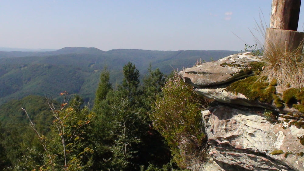
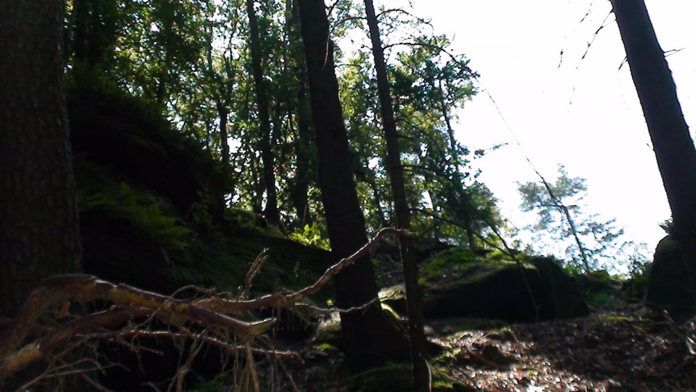
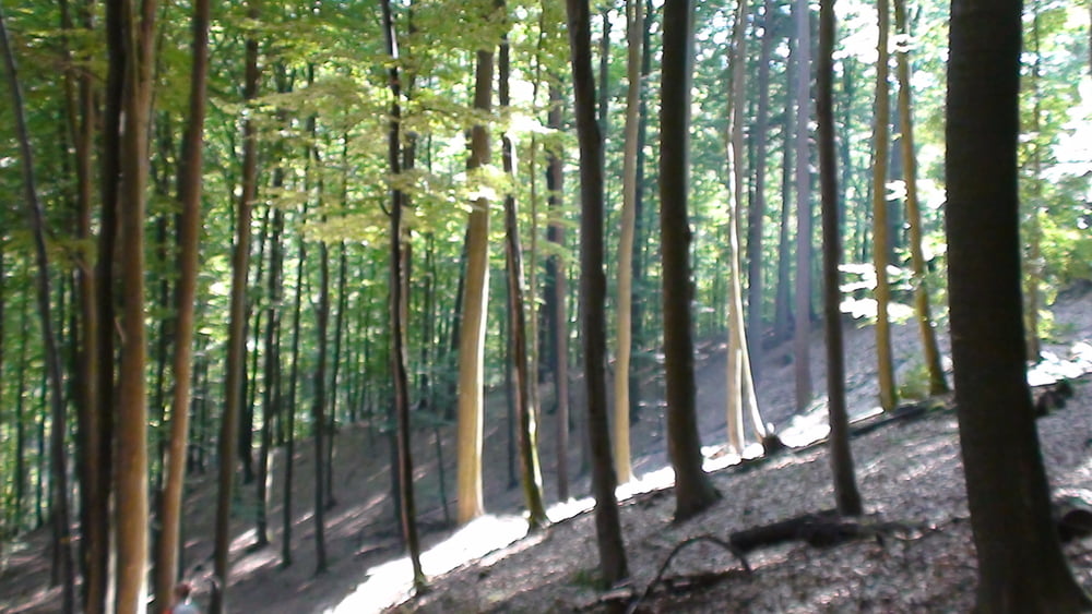
Wunderschöne anpruchsvolle Tour die eine gute Kondition verlangt

Dafür wird man von Traumaussichten über den Pfälzer Wald belohnt

Tour gallery

Tour map and elevation profile

  • Open Street Map
  • Google
Minimum height 216 m Maximum height 562 m Detailed view

More about the tour author

pmhilzi
Member since 2008

Send private message

Comments

auf der B48 Parkplatz direkt an der Abzweigung zum Fortshaus Annweiler 

GPS tracks

Trackpoints
  • GPX / Garmin Map Source (gpx) download
  • TCX / Garmin Training Center® (tcx) download
  • CRS / Garmin Training Center® (crs) download
  • Google Earth (kml) download
  • G7ToWin (g7t) download
  • TTQV (trk) download
  • Overlay (ovl) download
  • Fugawi (txt) download
  • Kompass (DAV) Track (tk) download
  • Track data sheet (pdf) download
  • Original file of the author (gpx) download

More about the tour author

pmhilzi
Member since 2008

Send private message
Share track
Add to my favorites
Remove from my favorites
Edit tags
My score
Rate
Track: Über den Grossen Almersberg
Type: Hiking
Distance: 18,0 km
Evaluated on:
Duration:
Day(s)
Hour(s)
Minute(s)
Score: Landscape Fun factor Fitness Technique