Login

Forgotten password?

Cookies have to be accepted!
Your browser's cookie functionality is disabled. Please enable this functionality.

Not a member yet?

Register now
Login

Available for registred users only

Log in to use this feature.

Forgotten password?

Cookies have to be accepted!
Your browser's cookie functionality is disabled. Please enable this functionality.

Not a member yet?

Register now
Filter
Categories
Advanced filters
  • Distance (km)
  • Height
Save filters Reset filter

TrackRank

QRCode

Technical data

Distance38,9 km Height1489 m Way down1469 m Duration03:30 h:m Date29.08.2009
Scores Author Landscape Fun factor Fitness Technique

Statistics

699 Views Scores 130 Downloads Average
Rate
  • Track data sheet
  • Directions
  • Downloads
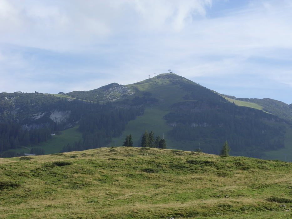
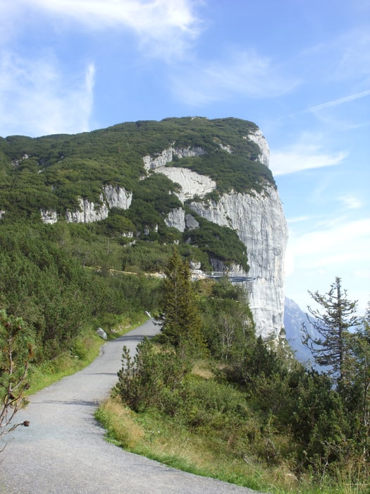
Van Waidring tot Lofer.  Klimmen via Mautstrasse tot Loferer Almen.  Golvend tot Mösernalm.  Via Mautstrasse tot Triassic Park.  Haarspeldbochten afsnijden naar beneden tot Stallenalm en zeer steile afdaling via mautstrasse tot Waidring.

Tour gallery

Tour map and elevation profile

  • Open Street Map
  • Google
Minimum height 632 m Maximum height 1676 m Detailed view

More about the tour author

hakkelinter
Member since 2008

Send private message

Comments

Vertrek in het centrum van Waidring.

GPS tracks

Trackpoints
  • GPX / Garmin Map Source (gpx) download
  • TCX / Garmin Training Center® (tcx) download
  • CRS / Garmin Training Center® (crs) download
  • Google Earth (kml) download
  • G7ToWin (g7t) download
  • TTQV (trk) download
  • Overlay (ovl) download
  • Fugawi (txt) download
  • Kompass (DAV) Track (tk) download
  • Track data sheet (pdf) download
  • Original file of the author (gpx) download

More about the tour author

hakkelinter
Member since 2008

Send private message
Share track
Add to my favorites
Remove from my favorites
Edit tags
My score
Rate
Track: Loferer Almen-Steinplatte
Type: Mountain bike
Distance: 38,9 km
Evaluated on:
Duration:
Day(s)
Hour(s)
Minute(s)
Score: Landscape Fun factor Fitness Technique