
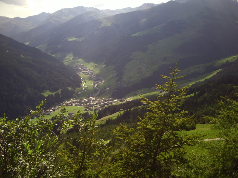

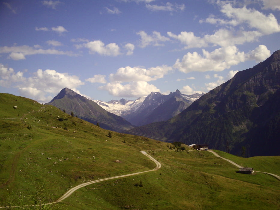
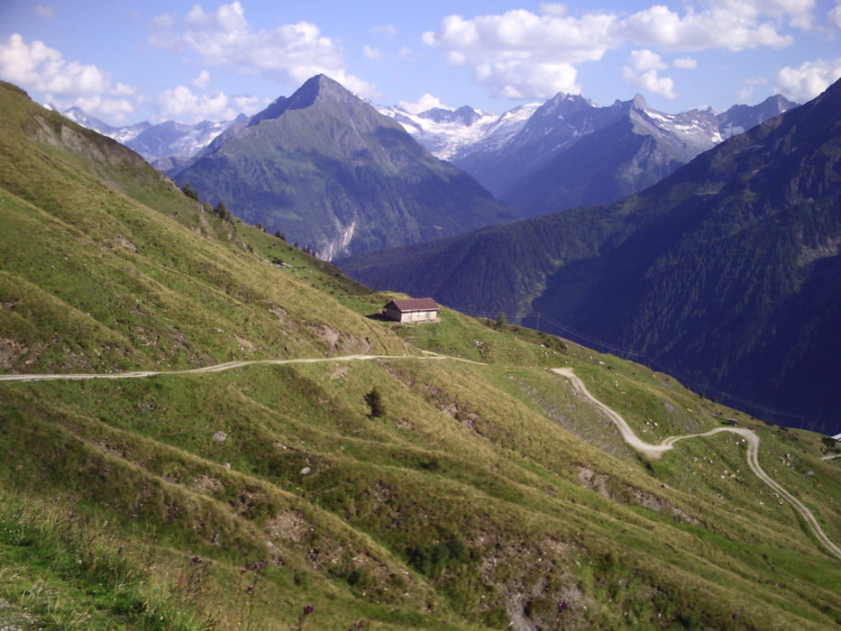
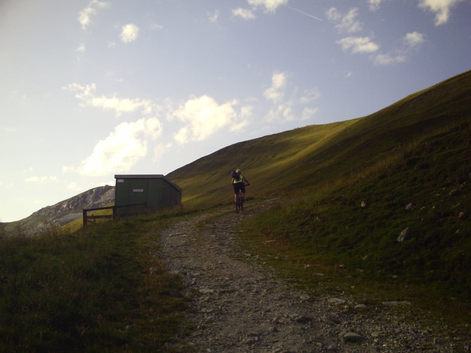
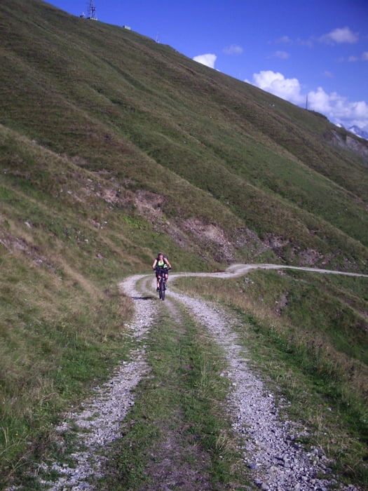
Gestartet wurde die Tour in Vorderlanersbach. Parkplatzmöglichkeiten sind in der Ortsmitte vorhanden. Landschaftlich schöne Tour, mit Trail an der Wanglalm, davor kurze Schiebepassage (50m). Rasante Abfahrt auf Schotterwegen über Schöneben zurück zum Ausgangspunkt.
Tour gallery
Tour map and elevation profile
Minimum height 1254 m
Maximum height 2260 m
More about the tour author

|
marcatibiza |
Comments

Im Zillertal (Tirol) auf der Bundesstrasse (B169) durch Mayrhofen. Nach Mayrhofen rechts Richtung Tuxer Gletscher. Durch Finkenberg nach Vorderlanersbach. Dort in der Ortsmitte parken (kostenlose Schotterparkplätze).
GPS tracks
Trackpoints-
GPX / Garmin Map Source (gpx) download
-
TCX / Garmin Training Center® (tcx) download
-
CRS / Garmin Training Center® (crs) download
-
Google Earth (kml) download
-
G7ToWin (g7t) download
-
TTQV (trk) download
-
Overlay (ovl) download
-
Fugawi (txt) download
-
Kompass (DAV) Track (tk) download
-
Track data sheet (pdf) download
-
Original file of the author (gpx) download
More about the tour author
|
|
marcatibiza |
Add to my favorites
Remove from my favorites
Edit tags
Open track
My score
Rate