
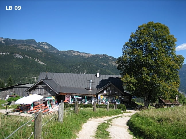

Die Mountainbike Tour Bad Ischl auf die Hoisenradalm ist ein mittelschwere MTB - Tour ohne besondere technische Schwierigkeiten. Alle Schotterstraßen sind mit nur einer Ausnahme von 400m für Jederman leicht zu befahren. Auf der Hoisenradalm kann man sehr gut essen und geniest gleichzeitig die wunderbare Aussicht nach Bad Ischl im oberösterreichischen Salzkammergut.
Weitere Infos, Bilder und Video zur MTB - Tour Bad Ischl findet ihr auf
biketours4you.at
Tour map and elevation profile
Minimum height 487 m
Maximum height 1060 m
More about the tour author
|
|
Trek1400d |
Comments

GPS tracks
Trackpoints-
GPX / Garmin Map Source (gpx) download
-
TCX / Garmin Training Center® (tcx) download
-
CRS / Garmin Training Center® (crs) download
-
Google Earth (kml) download
-
G7ToWin (g7t) download
-
TTQV (trk) download
-
Overlay (ovl) download
-
Fugawi (txt) download
-
Kompass (DAV) Track (tk) download
-
Track data sheet (pdf) download
-
Original file of the author (gpx) download
More about the tour author
|
|
Trek1400d |
Add to my favorites
Remove from my favorites
Edit tags
Open track
My score
Rate