
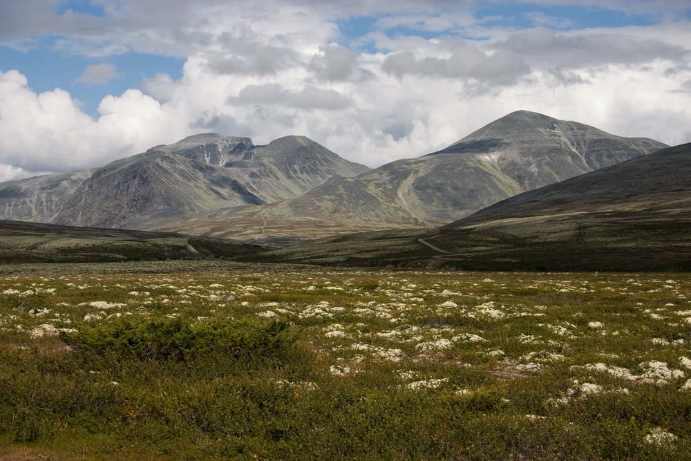

During second week in Norway we visited two national parks: NP Rondane and NP Dovre.
We have approximately half of time good partly cloudy weather withtemperatures between 15-20 degrees during day and little bit lower inthe night. Second half of our time weather was rather cloudy with rainwith temperatures little bit above freeze level.
There are many lakes, streams and rivers in these areas, so it is no needed to carry much water.
A lot of reindeers are living around here and if you have fortune you will see some different species of wild animals.
You can camping there in a tent without any problems. By Norway's laws you are permitted to set up a tent everywhere in the country further than 150 meters from dwelling.Further information at
http://www.ms.mff.cuni.cz/~jhum8111/hory/norsko_2009/norsko_2009.htmlTour gallery


Tour map and elevation profile
Minimum height 280 m
Maximum height 2142 m
More about the tour author

|
jhum8111 |
Comments

We started our track in the Otta and we finished in the Dombas.
GPS tracks
Trackpoints-
GPX / Garmin Map Source (gpx) download
-
TCX / Garmin Training Center® (tcx) download
-
CRS / Garmin Training Center® (crs) download
-
Google Earth (kml) download
-
G7ToWin (g7t) download
-
TTQV (trk) download
-
Overlay (ovl) download
-
Fugawi (txt) download
-
Kompass (DAV) Track (tk) download
-
Track data sheet (pdf) download
-
Original file of the author (gpx) download
More about the tour author
|
|
jhum8111 |
Add to my favorites
Remove from my favorites
Edit tags
Open track
My score
Rate