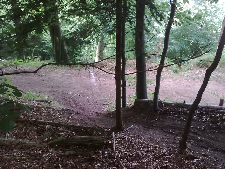
Ce tracé est le parcours du Bank 1 Saare Mountainbike marathon, la première boucle est la "Kurzstrecke" env. 40 km et la seconde boucle est la "ministreke" env. 30 km.
Le marathon fesait 2 tours de la "Kurzstrecke".
Dans la région les collines ne sont pas très haute mais le parcours comprend de belles ascensions bien raide.
En récompense après les montées il y a de très très belles descentes, certaines longues, d'autres très raide et d'autres encore technique.
En résumé c'est un beau parcours qui rentre dans les jambes.
Further information at
http://www.rsc-mtb.de/Tour gallery
Tour map and elevation profile
Minimum height 226 m
Maximum height 467 m
Comments

Départ du Waldstadion Betzental St. Ingbert (se situe à côté de l'autoroute 6; Südstraße; sortie St. Ingbert Mitte ou St. Ingbert West).
GPS tracks
Trackpoints-
GPX / Garmin Map Source (gpx) download
-
TCX / Garmin Training Center® (tcx) download
-
CRS / Garmin Training Center® (crs) download
-
Google Earth (kml) download
-
G7ToWin (g7t) download
-
TTQV (trk) download
-
Overlay (ovl) download
-
Fugawi (txt) download
-
Kompass (DAV) Track (tk) download
-
Track data sheet (pdf) download
-
Original file of the author (gpx) download
Add to my favorites
Remove from my favorites
Edit tags
Open track
My score
Rate


