Parken in Mendrisio am Bahnhof (Nähe Tourstart)
Zunächst ein Stück Teerstraße, dann auf einem Maultierweg ruppig bergauf. 1. Station ist dann Bellavista, Mittelstation der Bergbahn. Bis hier kann man eigentlich mit der Bahn fahren, da der Weg bisher im Wald meist ohne Aussicht und holprig verlief.
Nun ein Stück schieben, dann kann man auch ab und zu wieder fahren, die letzen 500m zur Bergstation dann wieder schieben.
Zu Fuß hoch auf den Gipfel, ab dann geht's erst richtig los.
Ich bin dann auf der Straße zu weit nach unten gefahren (Abzweig beim Auftreffen auf die Teerstraße nach dem C. la Bolla, hier besser über C. Carolza und Ermogna fahren, nicht über Teerstraße)
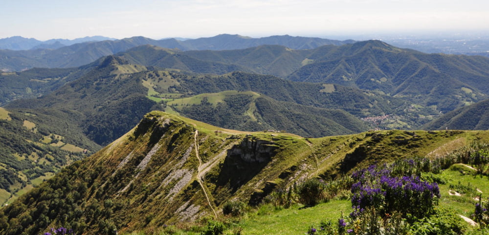
Singletrails, Feldwege, Forststraßen, alles fahrbar, bis zum Monte Bisbino. Im August 2009 dort ein paar umgestürzte Bäume, der Weg ist nicht zu finden, immer dem Track nach.
Die Abfahrt ist dann steil und ruppig, aber meist fahrbar.
Das letzte Stück dann wieder Maultierweg, bis man auf die Straße kommt.
Noch ein Abstecher über den Sentiero, dann auf der Straße zurück zum Ausgangspunkt.
Tour gallery
Tour map and elevation profile
Comments

GPS tracks
Trackpoints-
GPX / Garmin Map Source (gpx) download
-
TCX / Garmin Training Center® (tcx) download
-
CRS / Garmin Training Center® (crs) download
-
Google Earth (kml) download
-
G7ToWin (g7t) download
-
TTQV (trk) download
-
Overlay (ovl) download
-
Fugawi (txt) download
-
Kompass (DAV) Track (tk) download
-
Track data sheet (pdf) download
-
Original file of the author (gpx) download


