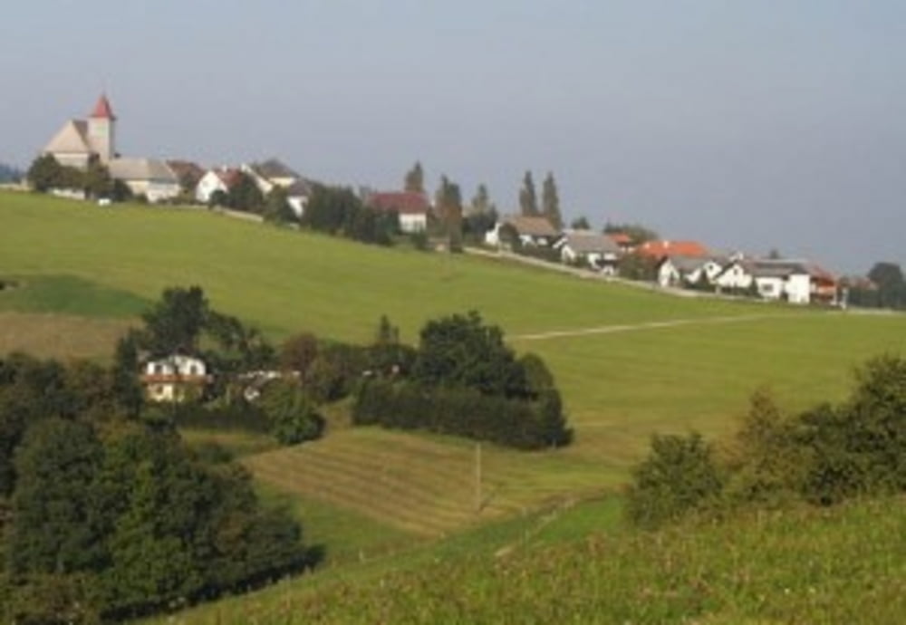
Von Linz aus gehts am Donauradweg bis Enns. Dort dann in RIchtung Steyr. Leider war Aufgrund der Bauarbeiten für die neue Schnellstraße nach Steyr die Variante über Hargelsberg nciht befahrbar und wir mussten über Kronsdorf nach Steyr fahren. Von dort geht es dann steil hinauf nach Behamberg und weiter nach Kürnberg. Angekommen in Kürnberg sind dann die ersten 600hm erfahren. Nach einer rasenden Abfahrt mit bis zu 75km/h Spitze gehts über teilweise kleine Straßen über St. Peter/Au bis nach Wallsee zum Donaukraftwerk. Auf dieser Strecke werden die weiteren 400hm überwunden, allerdings nur in kurzen Anstiegen. Von Wallsee/Mitterkirchen gehts am Donauradweg über Mauthausen - Abwinden zurück nach Linz.
Tour map and elevation profile
Minimum height 238 m
Maximum height 723 m
Comments

Startpunkt war bei uns die Zufahrt zum Pleschingersee in Linz.
GPS tracks
Trackpoints-
GPX / Garmin Map Source (gpx) download
-
TCX / Garmin Training Center® (tcx) download
-
CRS / Garmin Training Center® (crs) download
-
Google Earth (kml) download
-
G7ToWin (g7t) download
-
TTQV (trk) download
-
Overlay (ovl) download
-
Fugawi (txt) download
-
Kompass (DAV) Track (tk) download
-
Track data sheet (pdf) download
-
Original file of the author (gpx) download
Add to my favorites
Remove from my favorites
Edit tags
Open track
My score
Rate


