


Traumhafte Mehrtagestour mit Hüttenübernachtung durch den Nationalpark Berchtesgaden. (Übernachtungen: Carl-von-Stahl-Haus; Wasseralm; Kärlingerhaus). Achtung: die Bergwanderung führt mehrere Tage durch alpine Regionen (keine Möglichkeit zum schnellen Abstieg), Entsprechende Ausrüstung (Kleidung, Orientierung etc.), alpine Erfahrung und Auseinandersetzung mit dem Wetter sind unbedingt erforderlich. Wasser in ausreichender Menge mitführen.
Karten: Alpenvereinskarten Blatt: 10/1; 10/2
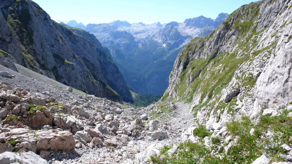
Tour gallery


Tour map and elevation profile
Minimum height 619 m
Maximum height 2363 m
More about the tour author

|
ralfgeorge |
Comments

Start: Bergstation der Jennerbahn - Ende: in St. Bartholomä am Königssee.
Info: www.nationalpark-berchtesgaden-bayern.de
GPS tracks
Trackpoints-
GPX / Garmin Map Source (gpx) download
-
TCX / Garmin Training Center® (tcx) download
-
CRS / Garmin Training Center® (crs) download
-
Google Earth (kml) download
-
G7ToWin (g7t) download
-
TTQV (trk) download
-
Overlay (ovl) download
-
Fugawi (txt) download
-
Kompass (DAV) Track (tk) download
-
Track data sheet (pdf) download
-
Original file of the author (gpx) download
More about the tour author
|
|
ralfgeorge |
Add to my favorites
Remove from my favorites
Edit tags
Open track
My score
Rate