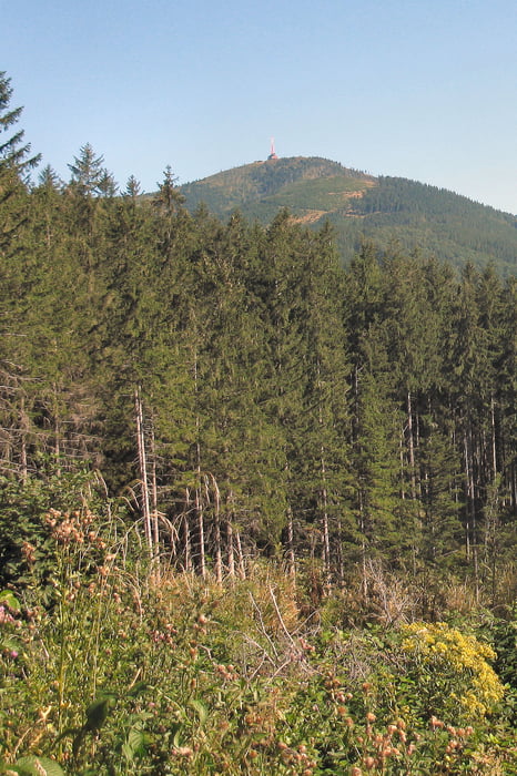
Schöner Weg, mit wechselnder Öberfläche. Für feste Bergstiefel kein Problem.
Vom Gipfel tolle Sicht vor allem nach den Gebirgen der Slowakei und selbverständlich auf die Gipfel der mährischen und böhmischen Berge.
Further information at
http://de.wikipedia.org/wiki/Lys%C3%A1_hora_(Beskiden)Tour gallery
Tour map and elevation profile
Minimum height 409 m
Maximum height 1322 m
Comments

siehe auch die anderen Beskidentouren.
GPS tracks
Trackpoints-
GPX / Garmin Map Source (gpx) download
-
TCX / Garmin Training Center® (tcx) download
-
CRS / Garmin Training Center® (crs) download
-
Google Earth (kml) download
-
G7ToWin (g7t) download
-
TTQV (trk) download
-
Overlay (ovl) download
-
Fugawi (txt) download
-
Kompass (DAV) Track (tk) download
-
Track data sheet (pdf) download
-
Original file of the author (gpx) download
Add to my favorites
Remove from my favorites
Edit tags
Open track
My score
Rate

