


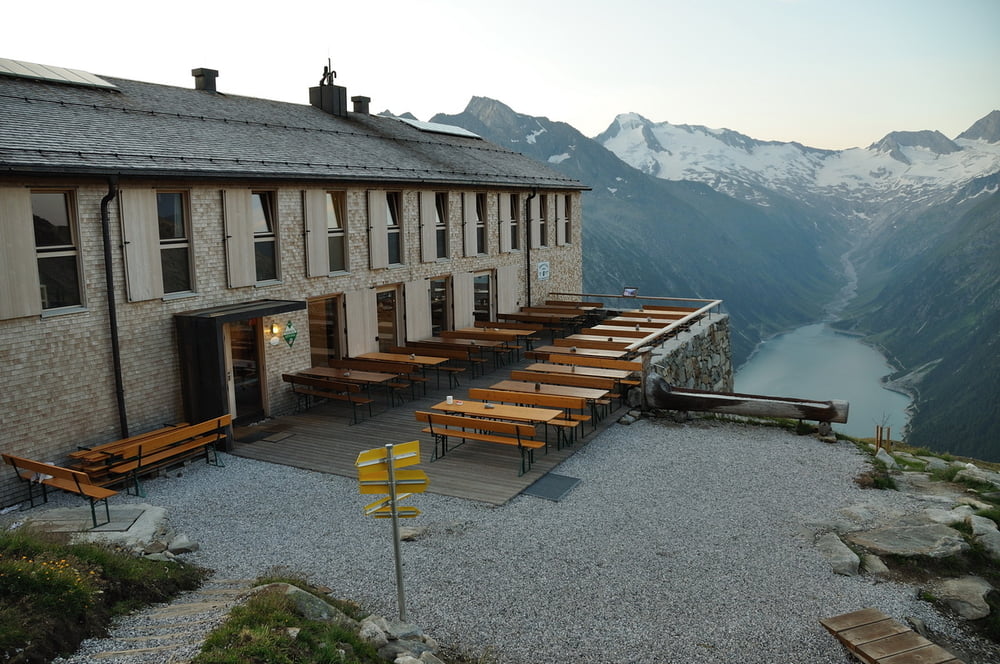
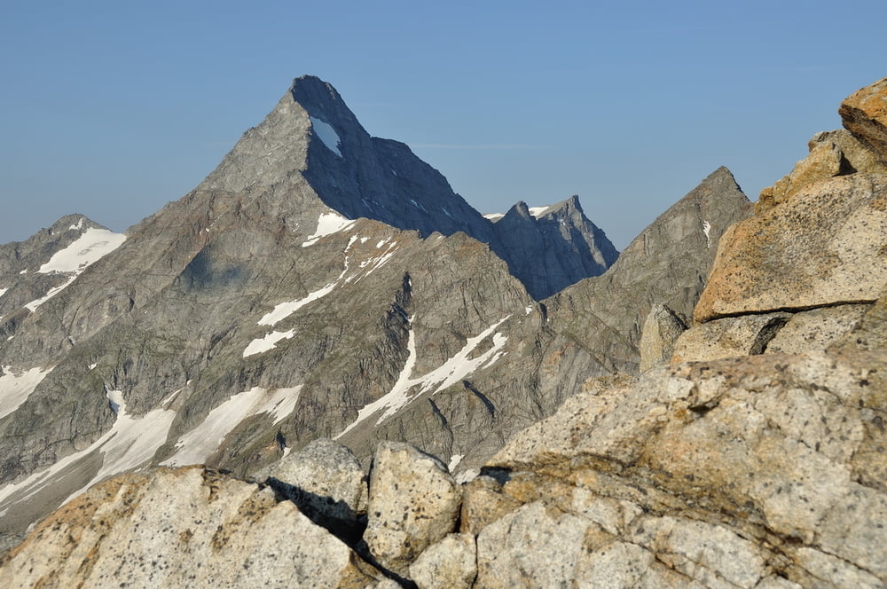
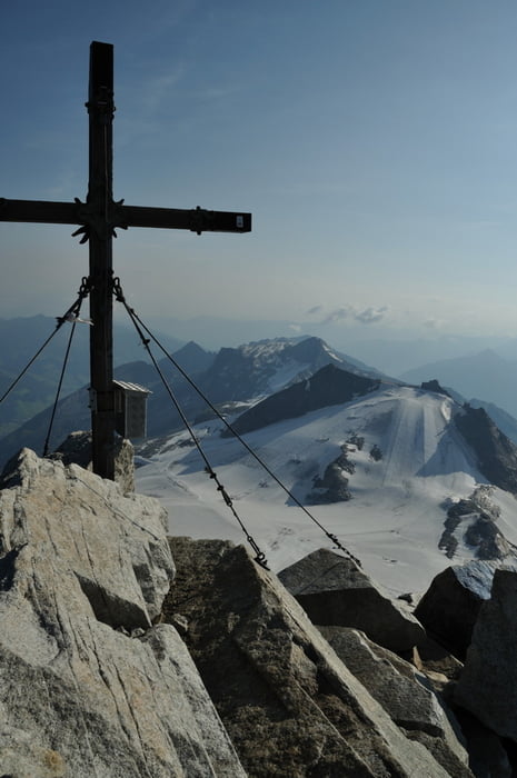
Vom Schlegeisspeicher, 1782m, über Olpererhütte, 2388m, grosses Riepenkees, Schneegupfgrat. Am Ende des Schneegupfgrat, eine kleine Verschneidung, zum eigentlichen Grat hinaufsteigen.Ein Stoff-Seil und ein paar Bügel erleichtern den Aufstieg. Den Grat entlang in leichter Kletterei zum Gipfel. Den selben Weg zurück.
AlternativAbstieg über den Nordgrat. Kletterei im II. Grad.
Tour gallery

Tour map and elevation profile
Minimum height 1761 m
Maximum height 3478 m
More about the tour author

|
Axel_N |
Comments

ZIllertal - Mayerhofen - Schlegeisspeicher ( 2009, Maut 10€ )
GPS tracks
Trackpoints-
GPX / Garmin Map Source (gpx) download
-
TCX / Garmin Training Center® (tcx) download
-
CRS / Garmin Training Center® (crs) download
-
Google Earth (kml) download
-
G7ToWin (g7t) download
-
TTQV (trk) download
-
Overlay (ovl) download
-
Fugawi (txt) download
-
Kompass (DAV) Track (tk) download
-
Track data sheet (pdf) download
-
Original file of the author (gpx) download
More about the tour author
|
|
Axel_N |
Add to my favorites
Remove from my favorites
Edit tags
Open track
My score
Rate