
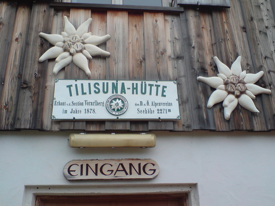

Der Track startet am Berggasthof Grabs (1375m). Der Track endet an der Tilisuna-Hütte (2208m).
Der Einstieg zur Tilisunahütte am Gerggasthof Grabs ist hinter der Hütte versteckt. Angegebene Zeit bis zur Tilisunahütte sind 3,5 Stunden. Von hier ging es Richtung Hochegga, über die Alpilalpe (1686m) vorbei am Tobler See, über den Schwarzhornsattel (2166m) zur Tilisuna-Hütte.
Natürlich kann man die Tour auch vom Ort Tschagguns aus starten. Wir nahmen den Bus (siehe auch Anfahrtsbeschreibung) um die ersten Höhenmeter zu überwinden.
Tour map and elevation profile
Minimum height 1257 m
Maximum height 2211 m
More about the tour author

|
marcatibiza |
Comments

In Tschagguns kann man das Auto stehen lassen. Kostenlose Parkplätze siehe Touristikinformation. Von dort mit Bus (Linie 6) zum Berggasthof Grabs (Sessellift Grabs gibt es seit einiger Zeit nicht mehr).
GPS tracks
Trackpoints-
GPX / Garmin Map Source (gpx) download
-
TCX / Garmin Training Center® (tcx) download
-
CRS / Garmin Training Center® (crs) download
-
Google Earth (kml) download
-
G7ToWin (g7t) download
-
TTQV (trk) download
-
Overlay (ovl) download
-
Fugawi (txt) download
-
Kompass (DAV) Track (tk) download
-
Track data sheet (pdf) download
-
Original file of the author (gpx) download
More about the tour author
|
|
marcatibiza |
Add to my favorites
Remove from my favorites
Edit tags
Open track
My score
Rate