Login

Forgotten password?

Cookies have to be accepted!
Your browser's cookie functionality is disabled. Please enable this functionality.

Not a member yet?

Register now
Login

Available for registred users only

Log in to use this feature.

Forgotten password?

Cookies have to be accepted!
Your browser's cookie functionality is disabled. Please enable this functionality.

Not a member yet?

Register now
Filter
Categories
Advanced filters
  • Distance (km)
  • Height
Save filters Reset filter

TrackRank

QRCode

Technical data

Distance5,2 km Height191 m Way down175 m Duration01:45 h:m Date12.09.2009
Scores Author Landscape Fun factor Fitness Technique

Statistics

1271 Views Scores 61 Downloads Average
Rate
  • Track data sheet
  • Directions
  • Downloads

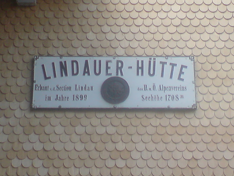
Abstieg von der Lindauer Hütte über den Alpengarten zur Lätschätzalpe (1733m), den Lätschätzer-Höhenweg in Richtung Berghof Golm. Von dort mit der Golmbahn bergab nach Latschau.

Von hier gibt es die Möglichkeit mit dem Bus nach Tschagguns zu gelangen.

Tour gallery

Tour map and elevation profile

  • Open Street Map
  • Google
Minimum height 1775 m Maximum height 1935 m Detailed view

More about the tour author

marcatibiza
Member since 2009

Send private message

Comments

GPS tracks

Trackpoints
  • GPX / Garmin Map Source (gpx) download
  • TCX / Garmin Training Center® (tcx) download
  • CRS / Garmin Training Center® (crs) download
  • Google Earth (kml) download
  • G7ToWin (g7t) download
  • TTQV (trk) download
  • Overlay (ovl) download
  • Fugawi (txt) download
  • Kompass (DAV) Track (tk) download
  • Track data sheet (pdf) download
  • Original file of the author (gpx) download

More about the tour author

marcatibiza
Member since 2009

Send private message
Share track
Add to my favorites
Remove from my favorites
Edit tags
My score
Rate
Track: Lindauer Hütte zur Golmbahn
Type: Mountain hiking
Distance: 5,2 km
Evaluated on:
Duration:
Day(s)
Hour(s)
Minute(s)
Score: Landscape Fun factor Fitness Technique