


Diese nicht ausgeschilderte Radtour verlangt Einiges an Kondition.
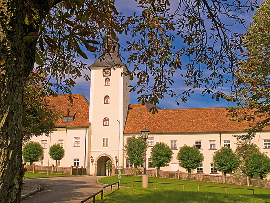
Die landschaftlich sehr abwechslungsreiche Tour führt ins Salzburger Dreiseenland. Viele sehenswerte Kirchen laden zum Verweilen ein. Bei entsprechender Fernsicht genießt man nicht nur von den schönen Aussichtsplätzen auf den Hügeln traumhafte Ausblicke in die salzburgisch-bayrische Alpenkette. Graben- Obertrumer- und Mattsee sind im Sommer beliebte Badeseen, die aber auch außerhalb der Badesaison faszinieren. Der romantische Ort Mattsee mit dem Collegialstift, der herrlichen Stiftskirche, dem Schloss und dem Bajuwaren-Dorf garantieren ein besonderes Erlebnis.
Von Gundertshausen geht es nach Aich, auf Seitenstraßen nach Feldkirchen, vorbei an der Wallfahrtskirche "Maria vom guten Rat" in Gstaig, hinunter ins Oichtental, über rudersberg nach Perwang (Zollmuseum), Mattsee, entlang des Obertrumersees nach Obertum, Seeham (Erlebniswelt Teufelgraben), Berndorf, Dorfbeuern, Vormoos (Kirche mit wertvollen Stuckaturen) nach Eggelsberg (prächtige Kirche - "Innviertler Dom" und zurück nach Gundertshausen.
Einkehrtipp: Gasthaus "Maria vom guten Rat" Gstaig Tel. 07748 501731, www.gstaig.at
Further information at
http://www.moor-ausflug.atTour gallery


Tour map and elevation profile
Minimum height 426 m
Maximum height 599 m
More about the tour author
|
|
seelentiumregion |
Comments

GPS tracks
Trackpoints-
GPX / Garmin Map Source (gpx) download
-
TCX / Garmin Training Center® (tcx) download
-
CRS / Garmin Training Center® (crs) download
-
Google Earth (kml) download
-
G7ToWin (g7t) download
-
TTQV (trk) download
-
Overlay (ovl) download
-
Fugawi (txt) download
-
Kompass (DAV) Track (tk) download
-
Track data sheet (pdf) download
-
Original file of the author (gpx) download
More about the tour author
|
|
seelentiumregion |
Add to my favorites
Remove from my favorites
Edit tags
Open track
My score
Rate