


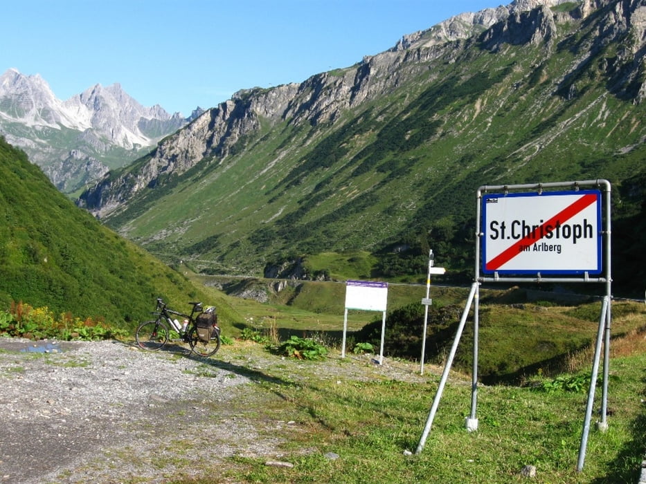
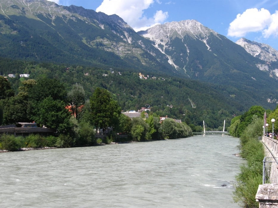
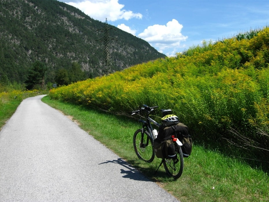
Nach einer etwas 6 km nervigen Auffahrt von Stuben nach St.Christoph die durch die Mautflüchtlinge hervorgerufen wurde war dann die Abfahrt mit ca. 32 km bis Landeck um so schöner. In Landeck mündet man dann in den Inntal Radweg der sehr gut beschildert und schön zu fahren ist. Hatte das Glück mit Westwind dadurch waren die 184 km nicht so schwierig, würde aber beim nächsten mal der schönen Landschaft und den Sehenswerten Städte etwas mehr Beachtung schenken.
Further information at
http://www.oebb.at/pv/de/Servicebox/Fahrplanabfrage/index.jspTour gallery
Tour map and elevation profile
Minimum height 511 m
Maximum height 1792 m
More about the tour author
|
|
izebor |
Comments

Von Wien mit der Bahn nach Feldkirch und mit dem Rad nach Stuben am Arlberg
GPS tracks
Trackpoints-
GPX / Garmin Map Source (gpx) download
-
TCX / Garmin Training Center® (tcx) download
-
CRS / Garmin Training Center® (crs) download
-
Google Earth (kml) download
-
G7ToWin (g7t) download
-
TTQV (trk) download
-
Overlay (ovl) download
-
Fugawi (txt) download
-
Kompass (DAV) Track (tk) download
-
Track data sheet (pdf) download
-
Original file of the author (gpx) download
More about the tour author
|
|
izebor |
Add to my favorites
Remove from my favorites
Edit tags
Open track
My score
Rate