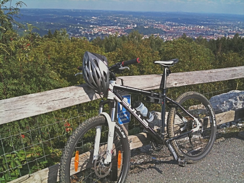
Die Tour beginnt beim Fürstenstandweg... der Rest ergibt sich hoffentlich aus der Karte!
Die ersten 200m sind sehr steil, nach dieser ersten kleinen Hürde gehts aber angenehm weiter!
Viel Spaß beim Fahren
Tour map and elevation profile
Minimum height 414 m
Maximum height 815 m
Comments

GPS tracks
Trackpoints-
GPX / Garmin Map Source (gpx) download
-
TCX / Garmin Training Center® (tcx) download
-
CRS / Garmin Training Center® (crs) download
-
Google Earth (kml) download
-
G7ToWin (g7t) download
-
TTQV (trk) download
-
Overlay (ovl) download
-
Fugawi (txt) download
-
Kompass (DAV) Track (tk) download
-
Track data sheet (pdf) download
-
Original file of the author (gpx) download
Add to my favorites
Remove from my favorites
Edit tags
Open track
My score
Rate


