

Von Andermatt über den Oberalppass. In Disentis/Muster rechts abbigen und auf zum Lukmanier. Sehr schöner Pass, vorallem Bergab in Richtung Biasca.
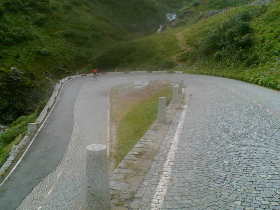
Um so hässlicher ist die Anfahrt auf den Gotthard mit der Autobahn usw.. Bei uns war dort zwar Rückenwind, aber ca. 36 C°. In Ariolo besteht dann die Möglichkeit auf die alte gepflasterte Passstrasse zu fahren(Paris-Roubaix als Pass).
Auf der Gothard Bundesstrasse ist s evtl. auch zu gefährlich wegen dem Verkehr.
Wir sind allerdings von der Passhöhe auf der Bundesstrasse Richtung Norden abgefahren, weil man die Pflastersteine physisch und psychisch irgenwann nicht mehr aushält.
Tour gallery

Tour map and elevation profile
Minimum height 355 m
Maximum height 2095 m
More about the tour author
|
|
nagel |
Comments

Siehe irgendeinen Routenplaner!
z.B. Google Maps
z.B. Google Maps
GPS tracks
Trackpoints-
GPX / Garmin Map Source (gpx) download
-
TCX / Garmin Training Center® (tcx) download
-
CRS / Garmin Training Center® (crs) download
-
Google Earth (kml) download
-
G7ToWin (g7t) download
-
TTQV (trk) download
-
Overlay (ovl) download
-
Fugawi (txt) download
-
Kompass (DAV) Track (tk) download
-
Track data sheet (pdf) download
-
Original file of the author (gpx) download
More about the tour author
|
|
nagel |
Add to my favorites
Remove from my favorites
Edit tags
Open track
My score
Rate