Login

Forgotten password?

Cookies have to be accepted!
Your browser's cookie functionality is disabled. Please enable this functionality.

Not a member yet?

Register now
Login

Available for registred users only

Log in to use this feature.

Forgotten password?

Cookies have to be accepted!
Your browser's cookie functionality is disabled. Please enable this functionality.

Not a member yet?

Register now
Filter
Categories
Advanced filters
  • Distance (km)
  • Height
Save filters Reset filter

TrackRank

QRCode

Technical data

Distance62,6 km Height1722 m Way down1633 m Duration03:00 h:m Date26.09.2009
Scores Author Landscape Fun factor Fitness Technique

Statistics

1794 Views Scores 194 Downloads Average
Rate
  • Track data sheet
  • Directions
  • Downloads

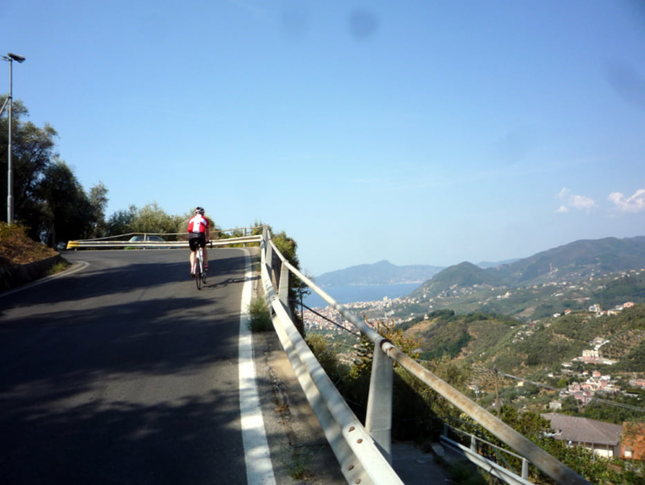
Wer das erste mal in dieser Gegend ist, bekommt mit der Tour einen guten ersten Eindruck, direkt an der belebten Küste als auch im ruhigeren Hinterland. Die Streckencharakeristik gibt alles her, was mir von meinem persönlichen Ligurienberater beschrieben wurde, das Höhenprofil spricht für sich. Alles ist gut zu fahren, so gut wie ohne Rampen, aber mit konstanten Steigungen, die zum 'verheizen' provozieren ;) Je weiter man die Orte verläßt, desto ruhiger die Straßen, zumindest bei Nebensaison.

Es gibt auf der Tour leider ein Teilstück mit grobem Waldweg, welcher etwa zur Hälfte fahrbar ist, s. Wegpunkt. Anschließend wird man aber belohnt durch eine herrliche Abfahrt (wie so oft dort).

Tour gallery

Tour map and elevation profile

  • Open Street Map
  • Google
Minimum height 4 m Maximum height 581 m Detailed view

More about the tour author

Flash
Member since 2008

Send private message

Comments

Wo man gerade unterkommt im Bereich der Strecke... s. Karte

GPS tracks

Trackpoints
  • GPX / Garmin Map Source (gpx) download
  • TCX / Garmin Training Center® (tcx) download
  • CRS / Garmin Training Center® (crs) download
  • Google Earth (kml) download
  • G7ToWin (g7t) download
  • TTQV (trk) download
  • Overlay (ovl) download
  • Fugawi (txt) download
  • Kompass (DAV) Track (tk) download
  • Track data sheet (pdf) download
  • Original file of the author (gpx) download

More about the tour author

Flash
Member since 2008

Send private message
Share track
Add to my favorites
Remove from my favorites
Edit tags
My score
Rate
Track: Ligurien - Rapallo - Chiavari
Type: Road biking
Distance: 62,6 km
Evaluated on:
Duration:
Day(s)
Hour(s)
Minute(s)
Score: Landscape Fun factor Fitness Technique