


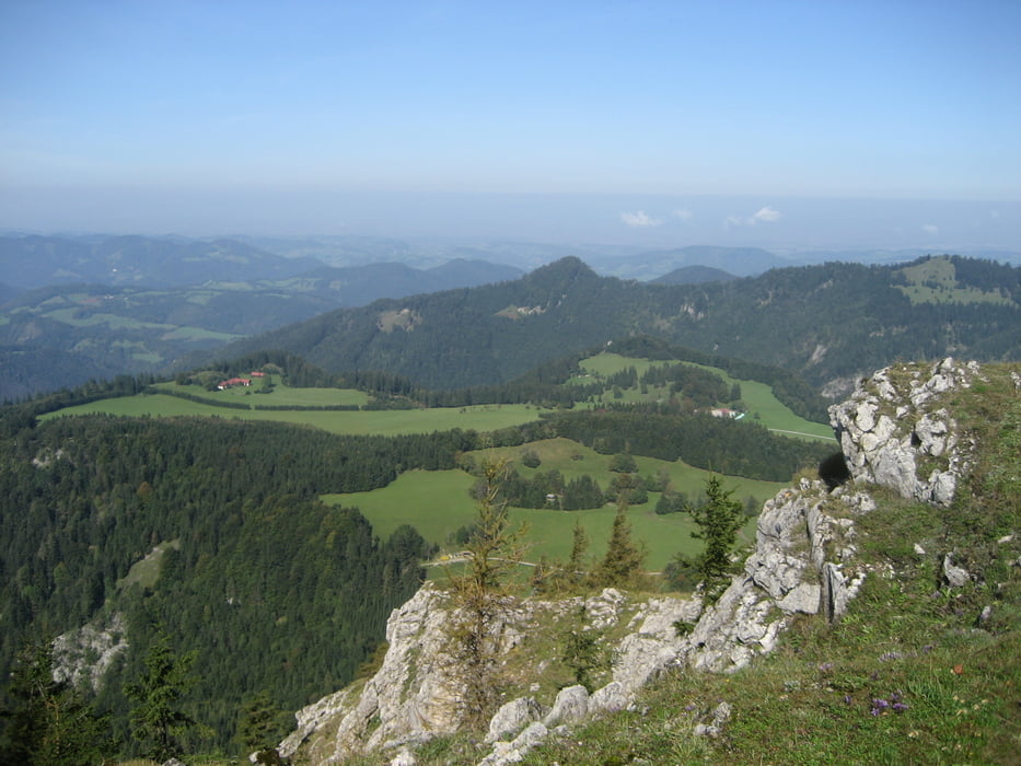
Vom Parkplatz Ebenwaldhöhe den Weg Nr. 622 südwestwärts einschlagen. . Wenige hundert Meter - vor dem Gatter zum Hof Graser - geht es links die Wiese hoch zum Waldrand. Hier muss der unmarkierte aber gut ausgetretene Weg in den Wald gefunden werden. Dann beginnt der Aufstieg zum Hochstaff, der ein echtes kleines Juwel ist. Der Aus- und Rundblick entlohnt für den kleinen Abstecher. Nicht versäumen! Dann gehts runter zur Kleinzeller Hinteralm und gut beschriftet weiter auf die Reisalpe!
Further information at
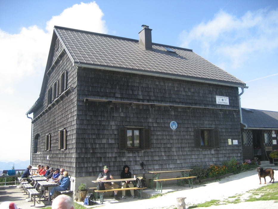
http://www.bergfex.at/furtnerlifte/huette-reisalpenschutzhaus/Tour gallery


Tour map and elevation profile
Minimum height 957 m
Maximum height 1432 m
More about the tour author
|
|
Sieberer61 |
Comments

Von St. Pölten Richtung Süden. Dann abzweigen Richtung Hainfeld/Kleinzell. In Kleinzell ist die Auffahrt zur Ebenwaldhöhe (noch 7km) gut beschriftet. Ausreichend Parkplatz.
GPS tracks
Trackpoints-
GPX / Garmin Map Source (gpx) download
-
TCX / Garmin Training Center® (tcx) download
-
CRS / Garmin Training Center® (crs) download
-
Google Earth (kml) download
-
G7ToWin (g7t) download
-
TTQV (trk) download
-
Overlay (ovl) download
-
Fugawi (txt) download
-
Kompass (DAV) Track (tk) download
-
Track data sheet (pdf) download
-
Original file of the author (gpx) download
More about the tour author
|
|
Sieberer61 |
Add to my favorites
Remove from my favorites
Edit tags
Open track
My score
Rate