


Der Höhengrundweg (HG-Weg) führt rund um Leidersbach und dessen Ortsteile. Die Tour "HG-Weg plus" verbindet den HG-Weg mit An- und Abfahrt von und nach Haibach-Grünmorsbach.
Start und Endpunkt der Tour ist der Wanderparkplatz am Ortsausgang Haibach (Grünmorsbach) in Richtung Dörrmorsbach.
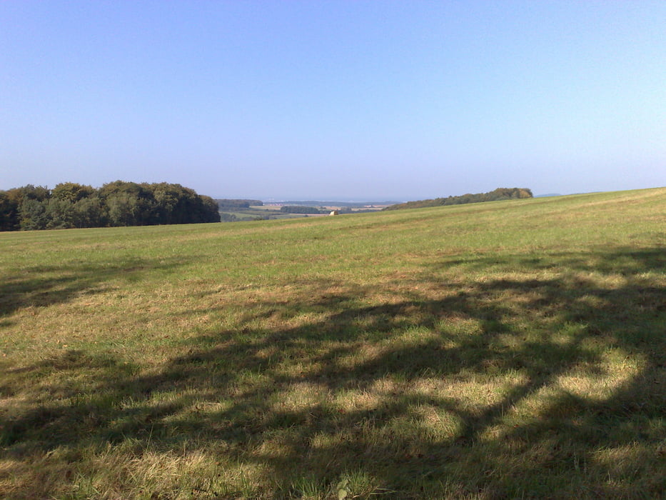
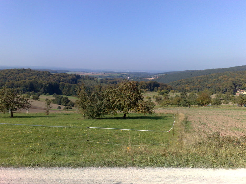
Die Tour führt teils über die spessarttypischen Waldautobahnen, bietet jedoch auch Bereiche mit schönen Waldwegen. Als Rastmöglichkeit bietet sich die Hohe Warte an.
Da es sich beim HG-Weg um einen Wanderweg handelt, bitte Rücksicht auf Wanderer nehmen !
Further information at
http://www.leidersbach.de/index.asp?NAVIID=%7B56B57C9A-64B7-45A7-90EE-E8B8ACB35D95%7D%Linkzusatz%Tour gallery
Tour map and elevation profile
Minimum height 155 m
Maximum height 419 m
More about the tour author

|
SpessartMTBiker |
Comments

Nach Haibach (bei Aschaffenburg), dann Richtung Dörrmorsbach. 200m nach dem Ortsausgang befindet sich auf der linken Seite ein kleiner Wanderparkplatz. Dieser ist Start- und Zielpunkt der Tour.
GPS tracks
Trackpoints-
GPX / Garmin Map Source (gpx) download
-
TCX / Garmin Training Center® (tcx) download
-
CRS / Garmin Training Center® (crs) download
-
Google Earth (kml) download
-
G7ToWin (g7t) download
-
TTQV (trk) download
-
Overlay (ovl) download
-
Fugawi (txt) download
-
Kompass (DAV) Track (tk) download
-
Track data sheet (pdf) download
-
Original file of the author (gpx) download
More about the tour author
|
|
SpessartMTBiker |
Add to my favorites
Remove from my favorites
Edit tags
Open track
My score
Rate