


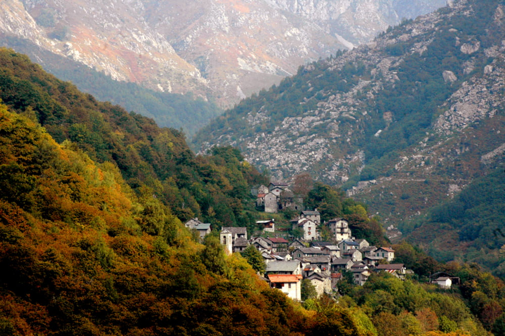
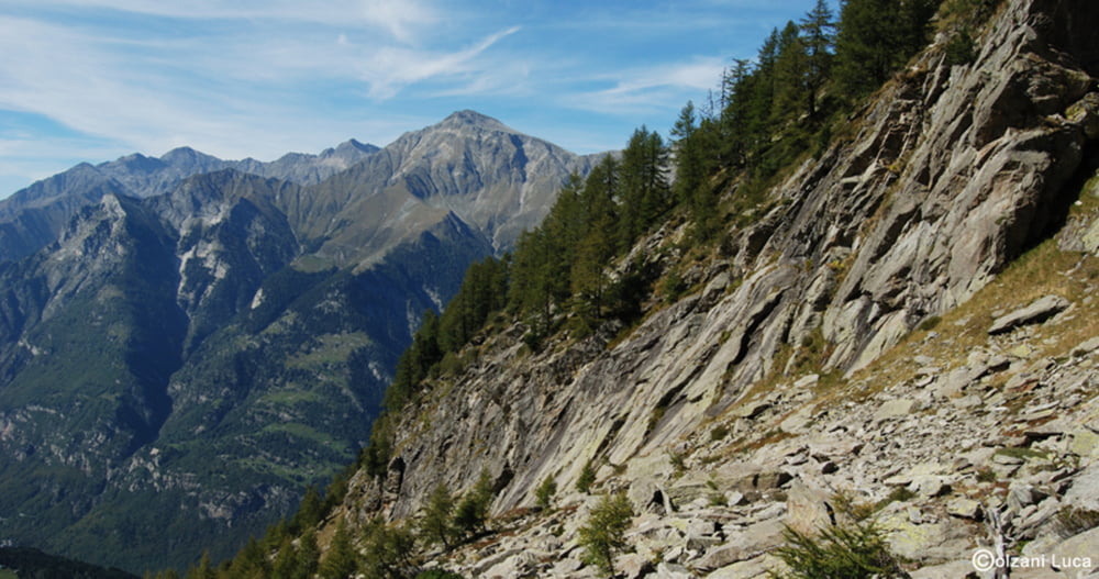
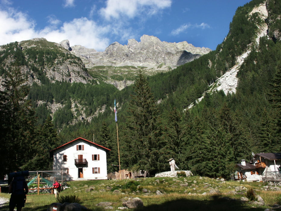
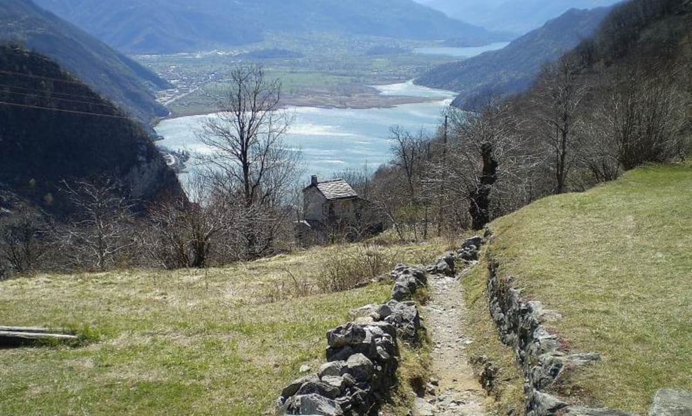
La val Codera è una valle ancora abbastanza Selvaggia e aspra molto bella da risalire specialmente in primavera e autunno.
si parte dall'abitato di novate mezzola, e si risale la valle senza incontrare difficoltà tecniche evidenti.
il dislivello in salita è di circa 1100 metri e si snoda su un percorso di circa 10 Km quindi è necessario un minimo di allenamento. la pendenza di salita è piuttosto costante e non presenta strappi significativi
Further information at
http://it.wikipedia.org/wiki/Val_CoderaTour gallery
Tour map and elevation profile
Minimum height 303 m
Maximum height 1442 m
More about the tour author
|
|
fassori |
Comments

GPS tracks
Trackpoints-
GPX / Garmin Map Source (gpx) download
-
TCX / Garmin Training Center® (tcx) download
-
CRS / Garmin Training Center® (crs) download
-
Google Earth (kml) download
-
G7ToWin (g7t) download
-
TTQV (trk) download
-
Overlay (ovl) download
-
Fugawi (txt) download
-
Kompass (DAV) Track (tk) download
-
Track data sheet (pdf) download
-
Original file of the author (gpx) download
More about the tour author
|
|
fassori |
Add to my favorites
Remove from my favorites
Edit tags
Open track
My score
Rate