


Schöne Nachmittagsrunde mit dem ÖPNV
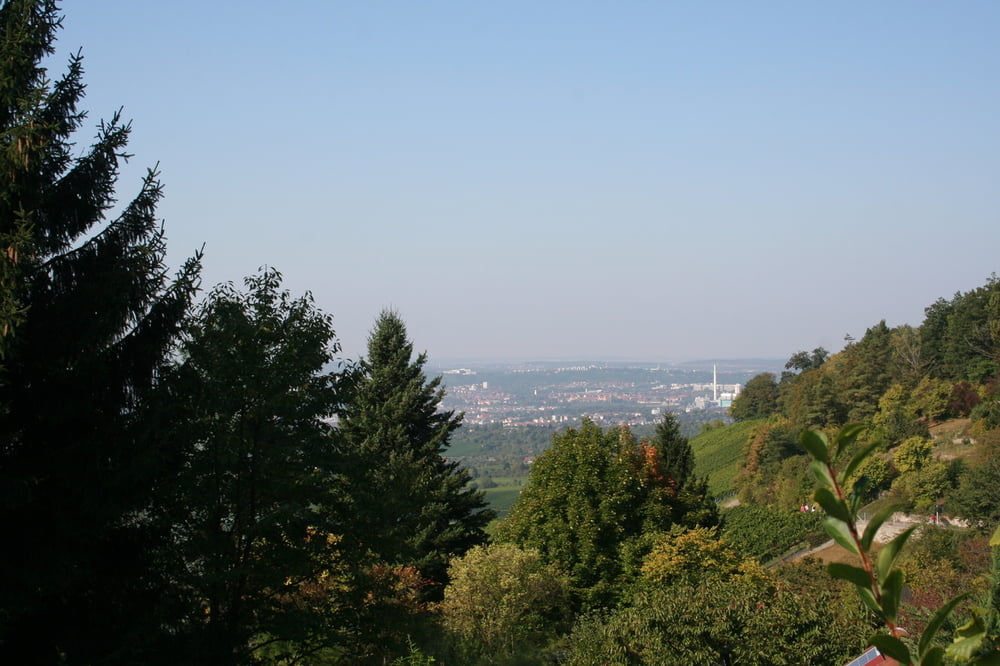
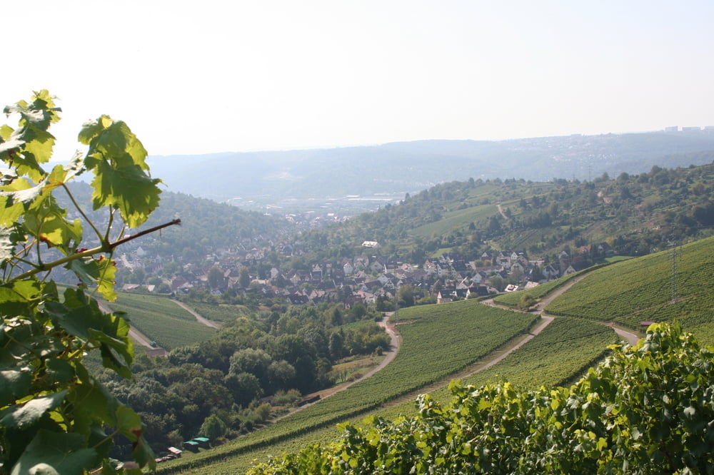
Wir starten an der Endhaltestelle der U1 in Fellbach. Vorbei an alten Häusern und der neuen Kelter in die Weinberge. Durch das Naturschutzgebiet des Kappelbergs nach Rotenberg. Dort können wir die Grabkapelle der Königin Katharina besichtigen (wird auch das Württembergische Taj Mahal genannt). Über den Mönchberg hinab nach Untertürkheim. An der Haltestelle Schlotterbeckstraße können wir in die U 13 einsteigen.
Tour gallery


Tour map and elevation profile
Minimum height 216 m
Maximum height 457 m
More about the tour author
|
|
Seili |
Comments
GPS tracks
Trackpoints-
GPX / Garmin Map Source (gpx) download
-
TCX / Garmin Training Center® (tcx) download
-
CRS / Garmin Training Center® (crs) download
-
Google Earth (kml) download
-
G7ToWin (g7t) download
-
TTQV (trk) download
-
Overlay (ovl) download
-
Fugawi (txt) download
-
Kompass (DAV) Track (tk) download
-
Track data sheet (pdf) download
-
Original file of the author (gpx) download
More about the tour author
|
|
Seili |
Add to my favorites
Remove from my favorites
Edit tags
Open track
My score
Rate
Tour
- ausschliesslich geteerte Wege, anstrengend für Kinder