


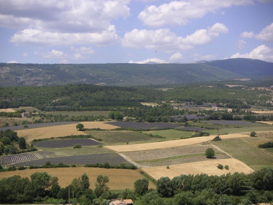
Die abwechslungsreiche und langschaftleich sehr reizvolle Tour zeigt die Provence von allen ihren schönen Seiten: Wein- und Lavendelfelder, Pässe und tiefe Schluchten. Die Straßen sind meist wenig befahren und Sault, welches zweimal durchfahren wird, sollte für eine Pause nicht ausgelassen werden:
Flassan - La Gabelle - Sault - Aurel - Mountbrun les Bains - Le Moulin - Barret de Lioure - Col de Macuègne - Col de Homme Mort - Ferrassières - Sault - Monieux - Gorges de la Nesque - Villes sur Auzon - Flassan
*** Achtung: bei großer Hitze kann der Teer - wie häufig auf den Nebenstraßen in Frankreich - weich werden - Sturzgefahr!! ***
Tour gallery


Tour map and elevation profile
Minimum height 310 m
Maximum height 1203 m
More about the tour author

|
velo_rouge |
Comments

Flassan befindet sich ca. 25 km östlich von Carpentras. Die Tour kann aber auch sehr gut in Villes sur Auzon begonnen werden, welches eine bessere Infrastruktur als Flassan bietet.
GPS tracks
Trackpoints-
GPX / Garmin Map Source (gpx) download
-
TCX / Garmin Training Center® (tcx) download
-
CRS / Garmin Training Center® (crs) download
-
Google Earth (kml) download
-
G7ToWin (g7t) download
-
TTQV (trk) download
-
Overlay (ovl) download
-
Fugawi (txt) download
-
Kompass (DAV) Track (tk) download
-
Track data sheet (pdf) download
-
Original file of the author (gpx) download
More about the tour author
|
|
velo_rouge |
Add to my favorites
Remove from my favorites
Edit tags
Open track
My score
Rate