


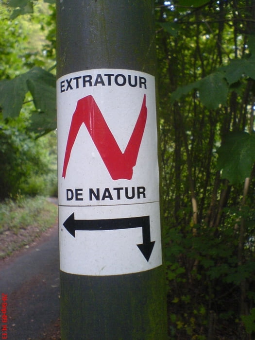
Die Tour beginnt im Kurgarten von Bad Salzschlirf , ist mit ca. 11,5 km nicht sehr lang und wie alle Extratouren sehr gut ausgeschildert. (rotes N auf weissem Grund)
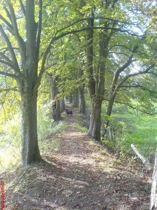
Zunächst laufen wir bergauf durch den Wald an der ehemaligen Waldgaststätte "Marienlust" vorbei.
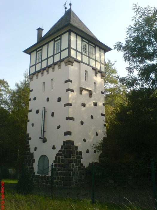
Weiter geht es Richtung Bahnhof vorbei an einem ehemaligen Eisenbahn-Wasserturm und ein Stück weiter durch eine schöne Kastanienallee. Dann auf einem Schotterweg durch den Wald hinauf zur Koppe wo man eine wunderbare Rundumsicht hat.
Dann führt uns der Weg vorbei am Observatorium von Bad Salzschlirf bevor es wieder zurück geht zum Kurgarten.
Tour gallery

Tour map and elevation profile
Minimum height 199 m
Maximum height 376 m
More about the tour author
|
|
oboe-kg |
Comments
GPS tracks
Trackpoints-
GPX / Garmin Map Source (gpx) download
-
TCX / Garmin Training Center® (tcx) download
-
CRS / Garmin Training Center® (crs) download
-
Google Earth (kml) download
-
G7ToWin (g7t) download
-
TTQV (trk) download
-
Overlay (ovl) download
-
Fugawi (txt) download
-
Kompass (DAV) Track (tk) download
-
Track data sheet (pdf) download
-
Original file of the author (gpx) download
More about the tour author
|
|
oboe-kg |
Add to my favorites
Remove from my favorites
Edit tags
Open track
My score
Rate
Hochrhöner Tour de Natur