


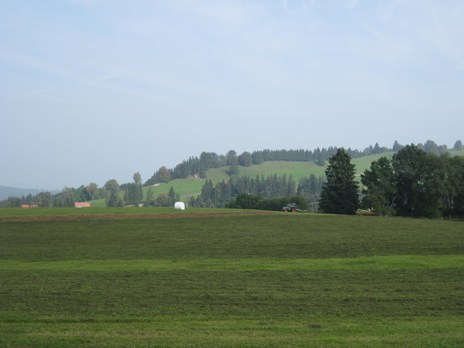
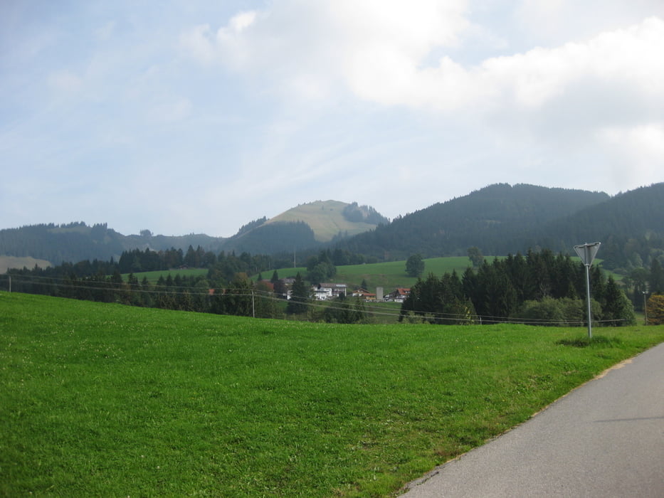
Die Tour beginnt in Burgberg-Agathazell und führt über Wagneritz, Rettenberg, Kranzegg, Wertach, (kleiner Abstecher nach Junholz), Oberjoch, Bad Hindelang, Sonthofen wieder nach Burgberg-Agathazell.
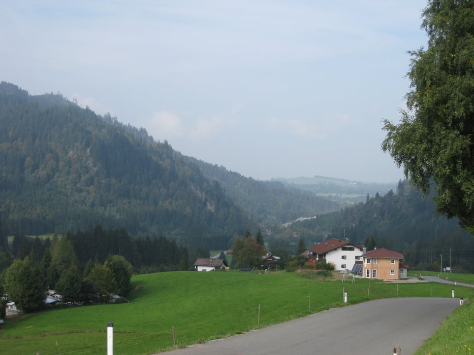
Das schönste an der Strecke ist die Steige von Oberjoch nach Bad Hindelang, 7 km Berg ab, das fetzt.
Natürlich kann die Runde beliebig in den genannten Orten begonnen werden.
Further information at
http://www.oberjoch.info/Tour gallery
Tour map and elevation profile
Minimum height 726 m
Maximum height 1163 m
More about the tour author

|
schmiddi38 |
Comments

Anreise mit dem Auto bis Burgberg-Agathazell oder mit dem Zug bis Bleichach. Von Bleichach sind es nur ca. 2,5 km nach Burgberg-Agathazell.
GPS tracks
Trackpoints-
GPX / Garmin Map Source (gpx) download
-
TCX / Garmin Training Center® (tcx) download
-
CRS / Garmin Training Center® (crs) download
-
Google Earth (kml) download
-
G7ToWin (g7t) download
-
TTQV (trk) download
-
Overlay (ovl) download
-
Fugawi (txt) download
-
Kompass (DAV) Track (tk) download
-
Track data sheet (pdf) download
-
Original file of the author (gpx) download
More about the tour author
|
|
schmiddi38 |
Add to my favorites
Remove from my favorites
Edit tags
Open track
My score
Rate