


Die Hochrhöner Extratour "Mühlentour" ist ca. 17,5 km lang und ohne nennenswerte Steigungen.
Einstiegspunkte für diese Tour sind:
1. Der Parkplatz an der Siebertzmühle
2. Parkplatz Kleinheiligkreuz
3. Parkplatz Hessenmühle
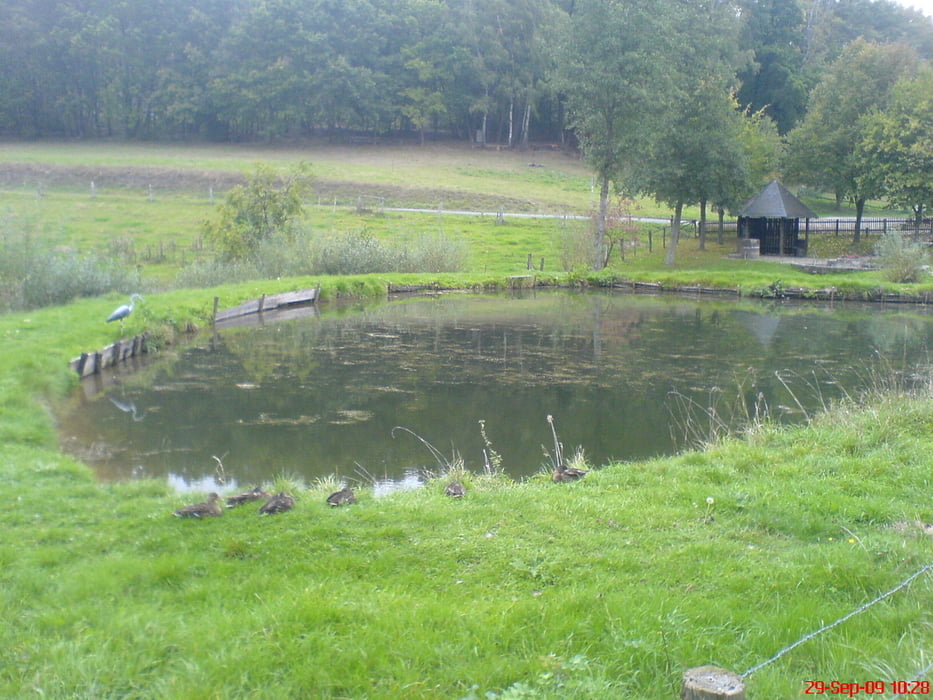
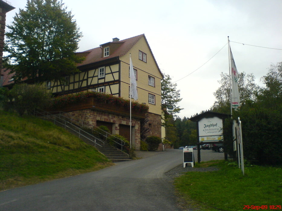
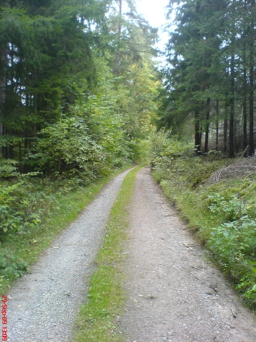
von der Sieberzmühle geht es zunächst auf Waldwegen Richtung Kleinheiligkreuz - ein ganzes Stück entlang der "kalten Lüder" und dann am Hotel/Restaurant "Jagdhof" vorbei. (Einkehrmöglichkeit) Danach führt uns der Weg nach re. in den Wald und weiter über Feld- und Wiesenwege nach Geisbuche und weiter geht`s zum Sieberzer Berg. Jetzt wieder bergab überqueren die Straße und kommen vorbei an einem alten Feldkreuz mit 3 Bänken die zur Rast einladen.
Der Rest des Weges führt dann durch den Wald wieder zurück zur Sieberzmühle.
Tour gallery
Tour map and elevation profile
Minimum height 260 m
Maximum height 429 m
More about the tour author
|
|
oboe-kg |
Comments

GPS tracks
Trackpoints-
GPX / Garmin Map Source (gpx) download
-
TCX / Garmin Training Center® (tcx) download
-
CRS / Garmin Training Center® (crs) download
-
Google Earth (kml) download
-
G7ToWin (g7t) download
-
TTQV (trk) download
-
Overlay (ovl) download
-
Fugawi (txt) download
-
Kompass (DAV) Track (tk) download
-
Track data sheet (pdf) download
-
Original file of the author (gpx) download
More about the tour author
|
|
oboe-kg |
Add to my favorites
Remove from my favorites
Edit tags
Open track
My score
Rate