Login

Forgotten password?

Cookies have to be accepted!
Your browser's cookie functionality is disabled. Please enable this functionality.

Not a member yet?

Register now
Login

Available for registred users only

Log in to use this feature.

Forgotten password?

Cookies have to be accepted!
Your browser's cookie functionality is disabled. Please enable this functionality.

Not a member yet?

Register now
Filter
Categories
Advanced filters
  • Distance (km)
  • Height
Save filters Reset filter

TrackRank

QRCode

Technical data

Distance23,1 km Height1152 m Way down1157 m Duration02:00 h:m Date06.10.2009
Scores Author User Landscape Fun factor Fitness Technique

Statistics

1153 Views 2 Scores 348 Downloads 4.00 Average
Rate
  • Track data sheet
  • Directions
  • Downloads
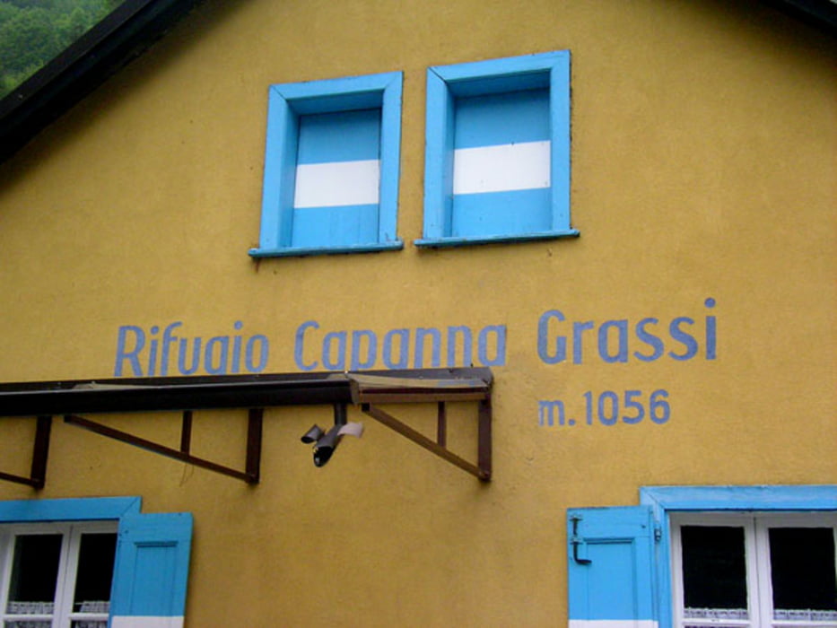
Kurze Tour zum Einrollen am Gardasee. 1000Hm Aufstieg auf Asphalt. Oben kommt man an einer Hütte vorbei - dem Rifugio Capanna Grassi

- ideal zum Mittagessen. Die Abfahrt ist dann das klassische Gardasee-Profil: erst Geröll-Trail, dann schnelle Waldweg-Abfahrten und am Ende steile Beton-Pisten.

Tour map and elevation profile

  • Open Street Map
  • Google
Minimum height 84 m Maximum height 1119 m Detailed view

More about the tour author

tillb
Member since 2009

Send private message

Comments

wolle_zx9 on 26.05.2010

capann grassi

schön kleine aber feine runde. die auffahrt ist auch für mtbike starter machbar, der downhill ist für gardasee verhältnisse entspannt ;-)
wobei die meistn mountainbiker heute die asphaltstr. wieder zurück gefahren sind, waru fahren die nicht rennrad?
danke fürs hier einstellen.
grüße
volkmar
PS die GPS daten schlagen einen haken in der mitte des Waldwegs, das führt ins nirgendwo, wenn man sich nicht beirren lässt wid alles gut.
OTHOST on 15.08.2011

Downhill

Ich würde sagen der Downhill lässt sich mit dem Wort "ruppig" ganz gut beschreiben. Nicht extrem anspruchsvoll aber viel Geröll & große Brocken auf dem Weg. Wer angstfrei ist, fährt ihn problemlos durch.
Wir haben auch sehr viele Biker gesehen, die uns wieder die Straße entgegenkamen.
Hier Fotos vom Downhill-Trail:
https://plus.google.com/photos/112996546784611908480/albums/5641188270347071089
Start in Riva

GPS tracks

Trackpoints
  • GPX / Garmin Map Source (gpx) download
  • TCX / Garmin Training Center® (tcx) download
  • CRS / Garmin Training Center® (crs) download
  • Google Earth (kml) download
  • G7ToWin (g7t) download
  • TTQV (trk) download
  • Overlay (ovl) download
  • Fugawi (txt) download
  • Kompass (DAV) Track (tk) download
  • Track data sheet (pdf) download
  • Original file of the author (gpx) download

More about the tour author

tillb
Member since 2009

Send private message
Share track
Add to my favorites
Remove from my favorites
Edit tags
My score
Rate
Track: Capanna Grassi
Type: Mountain bike
Distance: 23,1 km
Evaluated on:
Duration:
Day(s)
Hour(s)
Minute(s)
Score: Landscape Fun factor Fitness Technique