


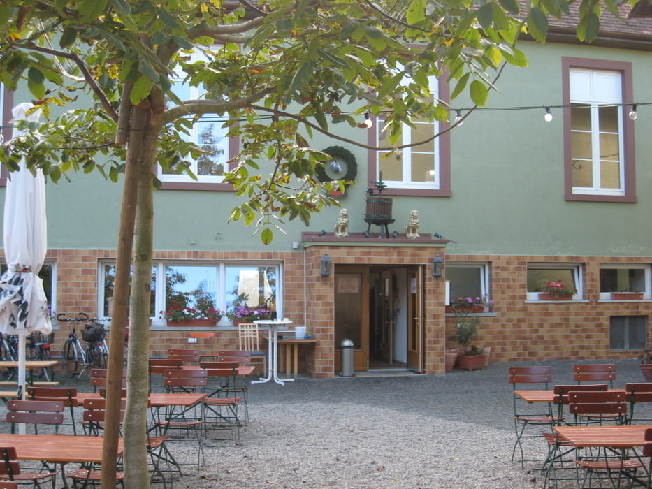
Dieser Track ist nicht bereinigt, das heißt die Abstecher (an der Nidda zum alten Flughafen oder in Harheim in den Ebbelwoigarten vom Goldenen Löwen) sind nicht gelöscht.
Die Tour beginnt in Sossenheim, fast an der Grenze zu Eschborn und endet am Bahnhof in Bad Homburg.
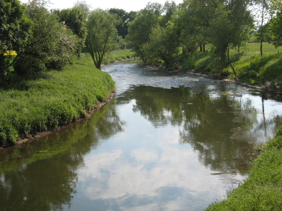
Den Weg die Nidda entlang ist sicherlich nicht zu verfehlen. Interessant ist aber vor allem der Abschnitt von Harheim nach Bad Homburg, weil es vorwiegend auf Radwegen oder wenig befahrenen Straßen verläuft.
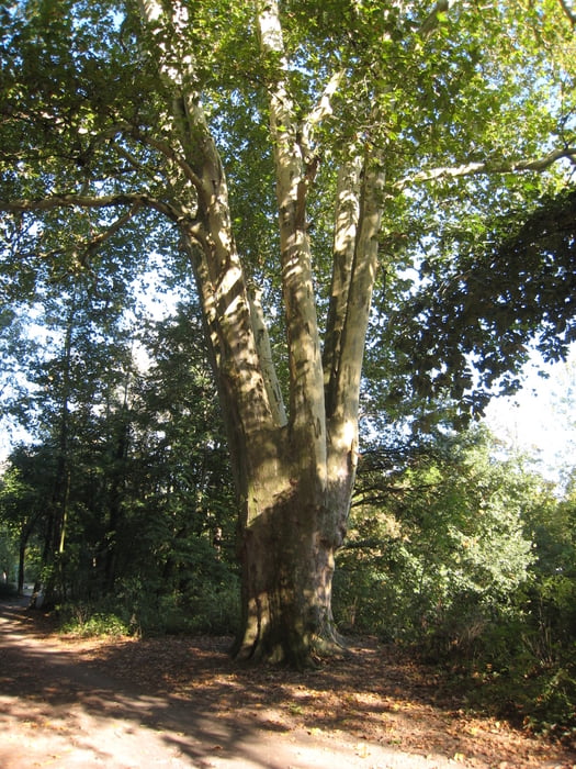
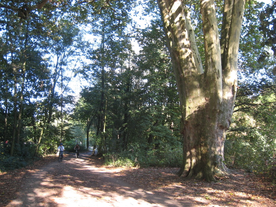
Tour gallery
Tour map and elevation profile
Minimum height 104 m
Maximum height 174 m
More about the tour author
|
|
jerzy_z |
Comments

GPS tracks
Trackpoints-
GPX / Garmin Map Source (gpx) download
-
TCX / Garmin Training Center® (tcx) download
-
CRS / Garmin Training Center® (crs) download
-
Google Earth (kml) download
-
G7ToWin (g7t) download
-
TTQV (trk) download
-
Overlay (ovl) download
-
Fugawi (txt) download
-
Kompass (DAV) Track (tk) download
-
Track data sheet (pdf) download
-
Original file of the author (gpx) download
More about the tour author
|
|
jerzy_z |
Add to my favorites
Remove from my favorites
Edit tags
Open track
My score
Rate