Login

Forgotten password?

Cookies have to be accepted!
Your browser's cookie functionality is disabled. Please enable this functionality.

Not a member yet?

Register now
Login

Available for registred users only

Log in to use this feature.

Forgotten password?

Cookies have to be accepted!
Your browser's cookie functionality is disabled. Please enable this functionality.

Not a member yet?

Register now
Filter
Categories
Advanced filters
  • Distance (km)
  • Height
Save filters Reset filter

TrackRank

QRCode

Technical data

Distance7,7 km Height290 m Way down592 m Duration02:00 h:m Date10.10.2009
Scores Author Landscape Fun factor Fitness Technique

Statistics

2820 Views Scores 269 Downloads Average
Rate
  • Track data sheet
  • Directions
  • Downloads
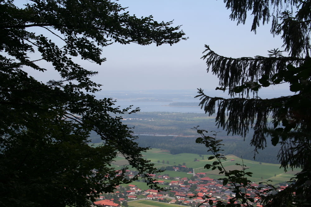
Wir starten am Waldfreibad in Grassau. Auf schönen Wegen mit tollen Aussichten geht über die Rachlalm zur Hefteralm, hier kann man sehr guten Käse essen. Von hier zurück zum Waldfreibad. 

Tour gallery

Tour map and elevation profile

  • Open Street Map
  • Google
Minimum height 599 m Maximum height 927 m Detailed view

More about the tour author

Seili
Member since 2008

Send private message

Comments

GPS tracks

Trackpoints
  • GPX / Garmin Map Source (gpx) download
  • TCX / Garmin Training Center® (tcx) download
  • CRS / Garmin Training Center® (crs) download
  • Google Earth (kml) download
  • G7ToWin (g7t) download
  • TTQV (trk) download
  • Overlay (ovl) download
  • Fugawi (txt) download
  • Kompass (DAV) Track (tk) download
  • Track data sheet (pdf) download
  • Original file of the author (gpx) download

More about the tour author

Seili
Member since 2008

Send private message
Share track
Add to my favorites
Remove from my favorites
Edit tags
My score
Rate
Track: Über Rachlalm und Hefteralm
Type: Hiking
Distance: 7,7 km
Evaluated on:
Duration:
Day(s)
Hour(s)
Minute(s)
Score: Landscape Fun factor Fitness Technique