
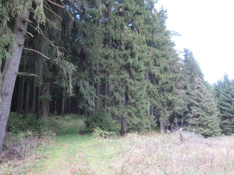

Landschaftlich sehr schöne Streckenwanderung durch Wälder und auf Wiesen ohne große Höhenunterschiede.
1. Tag: ca.18km
vom "Nullpunkt" über Hohegeiß und südl. an Benneckenstein vorbei. Einkehr im Waldschlößchen (http://cafe-waldschloesschen.de). Weiter über Wiesen und an der Schmalspurbahn entlang zur Siedlung Sophienhof.
Übernachtung im "Brauner Hirsch" (http://www.braunerhirsch-sophienhof.de)
2. Tag: ca 26km
zurück Richtung Hohegeiß zum Jägerfleck. Am Grenzweg entlang und Abstieg nach Zorge.
Einkehr im Restaurant "Kleine Kommode"(http://www.kleinekommode.de). Weiter Richtung Wieda und Bad Sachsa.
Achtung: Aufgrund des schlechten Wetters und der Tallage hat GPS-Track von Zorge Richtung Wieda Abweichungen von 20-30m.
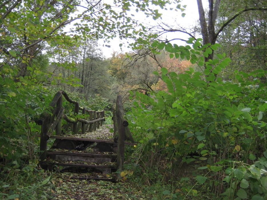
Tour gallery


Tour map and elevation profile
Minimum height 224 m
Maximum height 695 m
More about the tour author
|
|
uffehiker |
Comments

GPS tracks
Trackpoints-
GPX / Garmin Map Source (gpx) download
-
TCX / Garmin Training Center® (tcx) download
-
CRS / Garmin Training Center® (crs) download
-
Google Earth (kml) download
-
G7ToWin (g7t) download
-
TTQV (trk) download
-
Overlay (ovl) download
-
Fugawi (txt) download
-
Kompass (DAV) Track (tk) download
-
Track data sheet (pdf) download
-
Original file of the author (gpx) download
More about the tour author
|
|
uffehiker |
Add to my favorites
Remove from my favorites
Edit tags
Open track
My score
Rate