


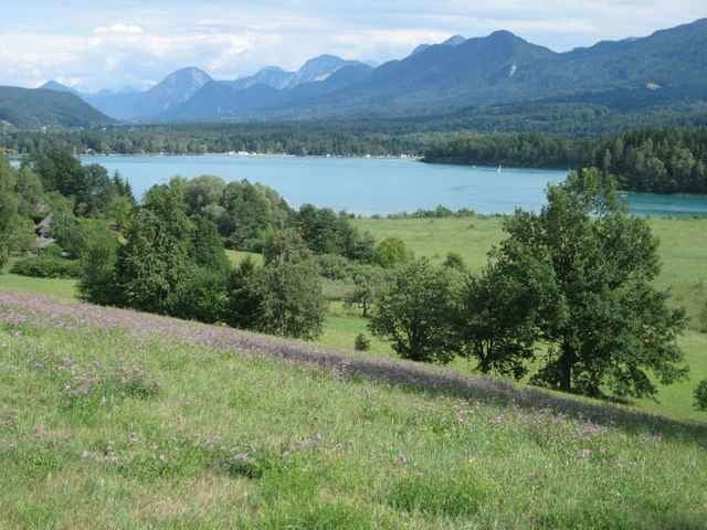
Der Rundkurs führt quer durch Ober- und Mittelkärnten. Das besondere daran: Mit Millstättersee, Brennsee, Afritzer See, Ossiacher See, Wörther See und Faaker See bekommt man dabei einen Großteil der schönsten Kärntner Seen zu sehen.
Die Asphalt-Qualität ist fast durchgängig gut bis sehr gut. Ausnahmen: zwischen Treffen und Landskron bzw. Ossiach und Wörther See.
Aussichtspunkte und Trinkwasser-Brunnen sind als Waypoints hinzu gefügt.
Übrigens: Zwischen Wörther- und Faaker See führt die Tour über einen Teil der Radstrecke des Ironman Austria.
Further information at
http://www.kaernten-seen-biking.at/Tour gallery
Tour map and elevation profile
Minimum height 453 m
Maximum height 811 m
More about the tour author
|
|
texx |
Comments

Per Auto: Über A2 Südautobahn oder A10 Tauernautobahn. Per Bahn: Stationen Villach oder Spittal/Millstätter See.
GPS tracks
Trackpoints-
GPX / Garmin Map Source (gpx) download
-
TCX / Garmin Training Center® (tcx) download
-
CRS / Garmin Training Center® (crs) download
-
Google Earth (kml) download
-
G7ToWin (g7t) download
-
TTQV (trk) download
-
Overlay (ovl) download
-
Fugawi (txt) download
-
Kompass (DAV) Track (tk) download
-
Track data sheet (pdf) download
-
Original file of the author (gpx) download
More about the tour author
|
|
texx |
Add to my favorites
Remove from my favorites
Edit tags
Open track
My score
Rate