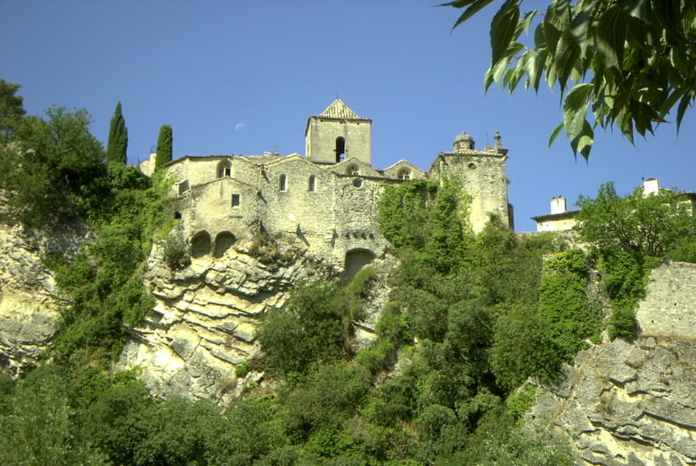
Ziemlich missglückte Paddeltour auf der Ouvèze. Der Fluss hatte einfach zu wenig Wasser, sodass ich das Kanu weite Strecken ziehen oder schieben musste. Die Tour gestaltete sich deswegen extrem anstrengend. Die Landschaft allerdings war grandios. Ich hätte aber eher Flusswandern sollen.
Fazit - die Ouvèze ist nur im Frühjahr paddelbar! Dann gilt sie aber als schwieriger Fluss - gute Vorbereitung und detaillierte Informationen sind notwendig - nur für sehr erfahrene Paddeler!
(Haftungsausschluss: siehe Nutzungsbestimmungen)
Fazit - die Ouvèze ist nur im Frühjahr paddelbar! Dann gilt sie aber als schwieriger Fluss - gute Vorbereitung und detaillierte Informationen sind notwendig - nur für sehr erfahrene Paddeler!
(Haftungsausschluss: siehe Nutzungsbestimmungen)
Further information at
http://de.wikipedia.org/wiki/Ouv%C3%A8zeTour gallery
Tour map and elevation profile
Minimum height 99999 m
Maximum height -99999 m
Comments

GPS tracks
Trackpoints-
GPX / Garmin Map Source (gpx) download
-
TCX / Garmin Training Center® (tcx) download
-
CRS / Garmin Training Center® (crs) download
-
Google Earth (kml) download
-
G7ToWin (g7t) download
-
TTQV (trk) download
-
Overlay (ovl) download
-
Fugawi (txt) download
-
Kompass (DAV) Track (tk) download
-
Track data sheet (pdf) download
-
Original file of the author (gpx) download
Add to my favorites
Remove from my favorites
Edit tags
Open track
My score
Rate


