


Schöne Halbtagestour, die auch bei schlechtem Wetter und im Winter machbar ist. Schön einkehren kann man auf der Kreuzbergalm und natürlich am Neureuth-Berggasthaus.
Die Wege sind in erster Linie Fahrwege. Nur die Querung von kurz unter der Kreuzbergalm bis zur Gindelalmschneid ist ein Pfad, der auch im Winter quasi immer ausgetreten ist.
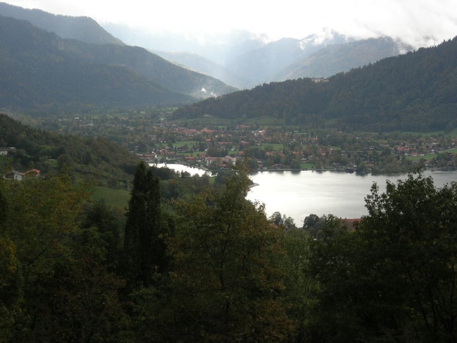
Immer wieder schöner Ausblick von der Neureuth Richtung Tegernsee und ins Tal nach Kreuth.
Further information at
http://www.tegernsee.comTour gallery

Tour map and elevation profile
Minimum height 763 m
Maximum height 1335 m
More about the tour author

|
smartandem |
Comments

Über die A8 bis Ausfahrt Holzkirchen. Auf der B318 Richtung Tegernsee. In Gmund Richtung Tegernsee halten. In der Nähe vom Kloster links zum Bahnhof abbiegen. Am Bahnhof rechts halten und ein paar Meter hochfahren. Dort ist ein kostenloser Parkplatz.
GPS tracks
Trackpoints-
GPX / Garmin Map Source (gpx) download
-
TCX / Garmin Training Center® (tcx) download
-
CRS / Garmin Training Center® (crs) download
-
Google Earth (kml) download
-
G7ToWin (g7t) download
-
TTQV (trk) download
-
Overlay (ovl) download
-
Fugawi (txt) download
-
Kompass (DAV) Track (tk) download
-
Track data sheet (pdf) download
-
Original file of the author (gpx) download
More about the tour author
|
|
smartandem |
Add to my favorites
Remove from my favorites
Edit tags
Open track
My score
Rate