
")

Also irgendwie fehlen die letzen 14km bei der Tour, ist aber nicht so wild da es dort dann eigentlich immer Richtung Freiburg den Berg runter ging bis zum Bahnhof.
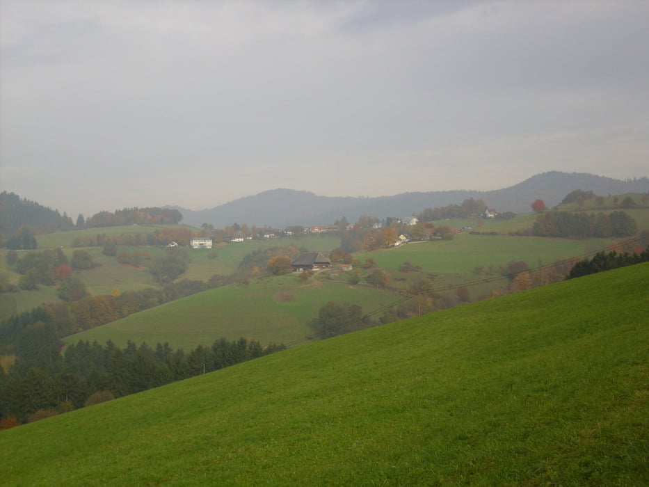
Start ist in Freiburg am Bahnhof, wir fahren rechts bis zur Brücke wo die Straßenbahn die Bahngleise überquert, wir machen das auch. Unten an der Eschholzstr. fahren wir links bis zur Breisgaumilch, dort dann rechts in die Haslacherstr., Markgrafenstr. und Uffhauserstr. folgen bis zum Media Markt. Dort dann rechts in die Bettackerstr. bis zur BÄKO, dort dann rechts in die Obere Hardstr, Blumenstr., Im Glaser weiter in den Zechenweg. Von dort an geht es dann durch die Weinberge. Es geht dann grob in Richtung Schönberg. Teilweise sind die Abfahrten ziemlich heftig, Wurzeln,große spitze Steine sind jetzt beim dem Herbstwetter mit vorsicht zu genießen. Durch Wittnau fahren wir durch und an der AOK Klinik geht es den Berg hoch bis ins Katzental (Ab hier hat er wieso auch immer nicht mehr aufgezeichnet). Der Straße folgen wir bis nach Horben. Von dort geht es dann über die K4955, und die L124 über Günterstal runter nach Freiburg bis zum Bahnhof. Dann sind es gute 35km und ca.800hm.
Further information at
http://www.freiburg.de/Tour gallery


Tour map and elevation profile
Minimum height 255 m
Maximum height 624 m
More about the tour author
|
|
ccmskates |
Comments

GPS tracks
Trackpoints-
GPX / Garmin Map Source (gpx) download
-
TCX / Garmin Training Center® (tcx) download
-
CRS / Garmin Training Center® (crs) download
-
Google Earth (kml) download
-
G7ToWin (g7t) download
-
TTQV (trk) download
-
Overlay (ovl) download
-
Fugawi (txt) download
-
Kompass (DAV) Track (tk) download
-
Track data sheet (pdf) download
-
Original file of the author (gpx) download
More about the tour author
|
|
ccmskates |
Add to my favorites
Remove from my favorites
Edit tags
Open track
My score
Rate