Login

Forgotten password?

Cookies have to be accepted!
Your browser's cookie functionality is disabled. Please enable this functionality.

Not a member yet?

Register now
Login

Available for registred users only

Log in to use this feature.

Forgotten password?

Cookies have to be accepted!
Your browser's cookie functionality is disabled. Please enable this functionality.

Not a member yet?

Register now
Filter
Categories
Advanced filters
  • Distance (km)
  • Height
Save filters Reset filter

TrackRank

QRCode

Technical data

Distance23,3 km Height581 m Way down576 m Duration02:00 h:m Date31.10.2009
Scores Author User Landscape Fun factor Fitness Technique

Statistics

2159 Views 1 Score 355 Downloads 4.00 Average
Rate
  • Track data sheet
  • Directions
  • Downloads

Tour mit hohem Anteil von Single Trails. Normale Wege sind natürlich auch vorhanden.

Teilweise sind Abfahrten dabei, die ein erhöhtes Mass an Technik erfordern...einfach ausprobieren!

Im Bereich Mitte Hucksberg habe ich mich verfahren...somit kommt ein kleines Stück Strasse.
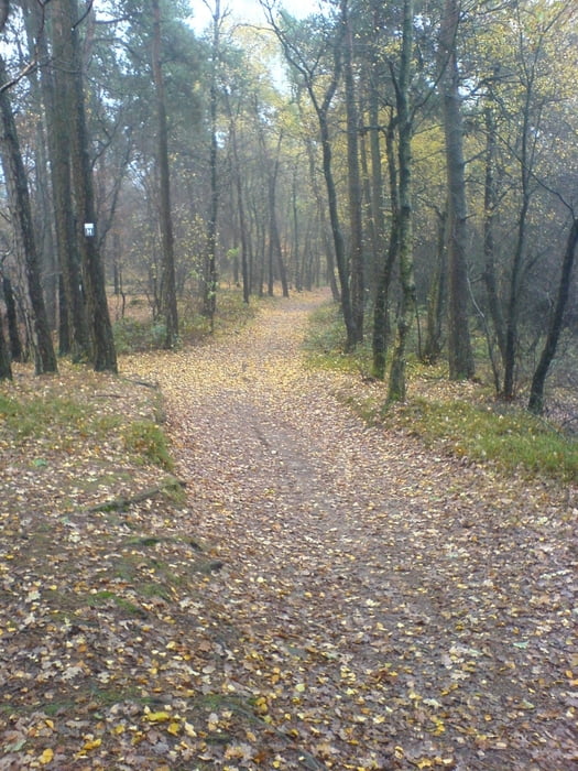
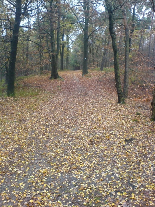
Tour gallery

Tour map and elevation profile

  • Open Street Map
  • Google
Minimum height 29 m Maximum height 149 m Detailed view

More about the tour author

dino-patrick
Member since 2008

Send private message

Comments

xthought on 17.06.2013

tour

sehr schöe runde auf waldwegen und trails. konnte so einen neuen teil des teutos entdecken. es gibt oefters noch trails die man selbst erkunden kann.

Starkpunkt ist der Parkplatz "Riesenbecker Postweg" (N52°15.774' E7°39.523).

Die Tour kann aber auch am Parkplatz "Nasses Dreieck" (N52°16.797' E7°36.434) oder Parkplatz "Dörenther Klippen" (N52°14.806' E7°41.717) gestartet werden.

GPS tracks

Trackpoints
  • GPX / Garmin Map Source (gpx) download
  • TCX / Garmin Training Center® (tcx) download
  • CRS / Garmin Training Center® (crs) download
  • Google Earth (kml) download
  • G7ToWin (g7t) download
  • TTQV (trk) download
  • Overlay (ovl) download
  • Fugawi (txt) download
  • Kompass (DAV) Track (tk) download
  • Track data sheet (pdf) download
  • Original file of the author (gpx) download

More about the tour author

dino-patrick
Member since 2008

Send private message
Share track
Add to my favorites
Remove from my favorites
Edit tags
My score
Rate
Track: Huckberg-Parkplatz Dörenther Klippen
Type: Mountain bike
Distance: 23,3 km
Evaluated on:
Duration:
Day(s)
Hour(s)
Minute(s)
Score: Landscape Fun factor Fitness Technique