Login

Forgotten password?

Cookies have to be accepted!
Your browser's cookie functionality is disabled. Please enable this functionality.

Not a member yet?

Register now
Login

Available for registred users only

Log in to use this feature.

Forgotten password?

Cookies have to be accepted!
Your browser's cookie functionality is disabled. Please enable this functionality.

Not a member yet?

Register now
Filter
Categories
Advanced filters
  • Distance (km)
  • Height
Save filters Reset filter

TrackRank

QRCode

Technical data

Distance40,9 km Height145 m Way down99 m Duration03:00 h:m Date02.11.2009
Scores Author User Landscape Fun factor Fitness Technique

Statistics

485 Views 1 Score 74 Downloads 3.00 Average
Rate
  • Track data sheet
  • Directions
  • Downloads

Further information at

http://thorsten-bachner.de

Tour gallery

Tour map and elevation profile

  • Open Street Map
  • Google
Minimum height 6 m Maximum height 52 m Detailed view

More about the tour author

tbachner
Member since 2007

Send private message

Comments

buggi on 18.11.2011

Kurze Grundlagenrunde

Optimale Runde um mal kurz die Grundlagenausdauer in dieser Jahreszeit zu fahren, da ich eigentlich ja MTB`ler bin ;-)). Danke!

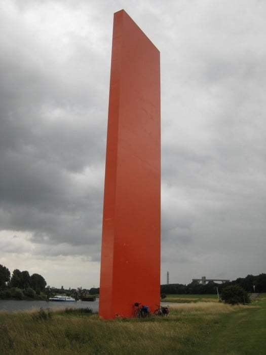
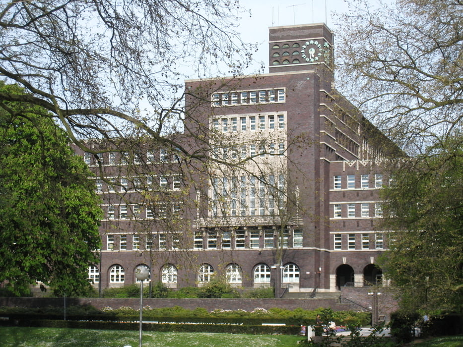
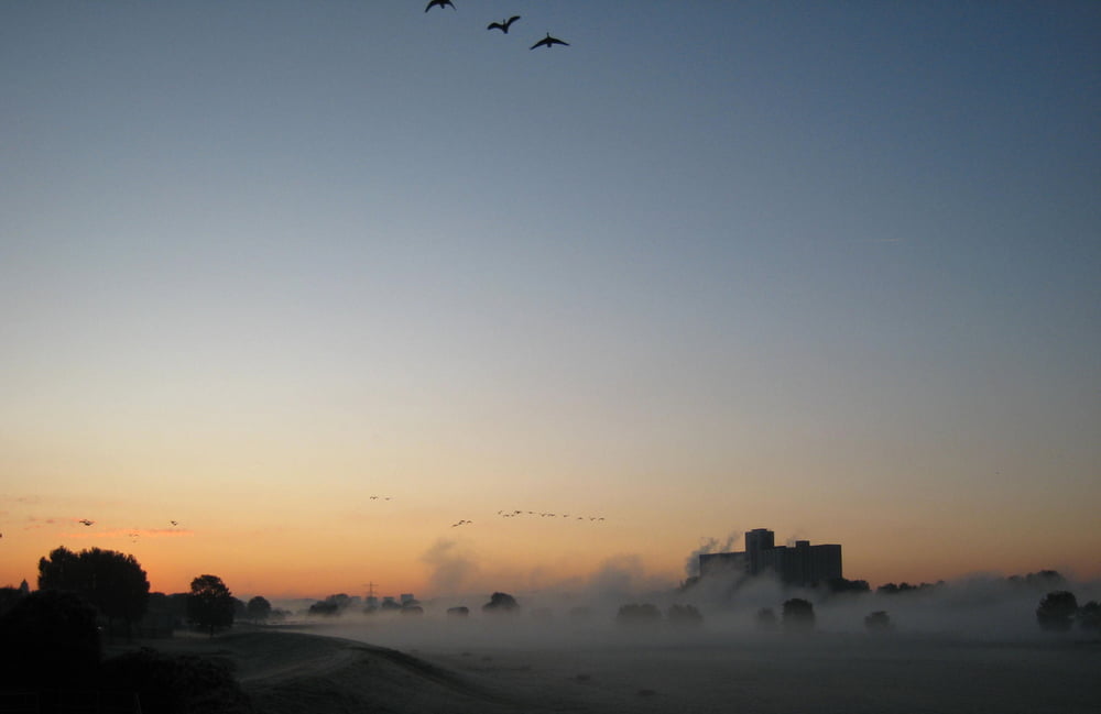
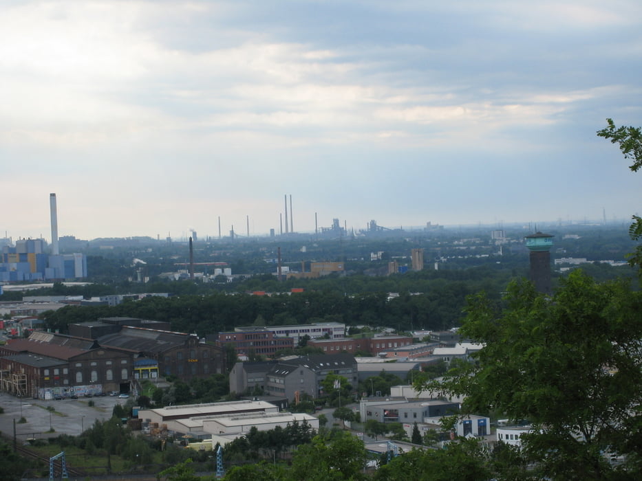
Die Tour beginnt und endet in der Innenstadt von Oberhausen. Der Track verläuft unweit des Oberhausener Hauptbahnhofs.

Am Track liegen zudem die Bahnhöfe  in Meiderich, Rheinhausen und der Duisburger Hauptbahnhof.

GPS tracks

Trackpoints
  • GPX / Garmin Map Source (gpx) download
  • TCX / Garmin Training Center® (tcx) download
  • CRS / Garmin Training Center® (crs) download
  • Google Earth (kml) download
  • G7ToWin (g7t) download
  • TTQV (trk) download
  • Overlay (ovl) download
  • Fugawi (txt) download
  • Kompass (DAV) Track (tk) download
  • Track data sheet (pdf) download
  • Original file of the author (gpx) download

More about the tour author

tbachner
Member since 2007

Send private message
Share track
Add to my favorites
Remove from my favorites
Edit tags
My score
Rate
Track: Oberhausen-Rheinhausen-Runde
Type: Trekkingbike
Distance: 40,9 km
Evaluated on:
Duration:
Day(s)
Hour(s)
Minute(s)
Score: Landscape Fun factor Fitness Technique