


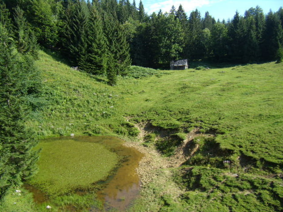
Ausgangspunkt der Tour ist die Kapelle Siebenbrunn an der Straße nach Annaberg. Kurz nach der Kapelle in einen Graben. Am Ende des Karrenweges setzt ein Fußweg an der steil zu einer Jagdhütte führt. Weiter auf die Schildböckalm, über den Schoberberg danach entlang einer Gemeindegrenze zu den Türnitzerböden und hinauf zum Schwarzenberg. Danach hinab zur hohen Eben und der Schwinmauer. Über eine Forststraße zurück zum ausgangspunkt.
Tour gallery


Tour map and elevation profile
Minimum height 603 m
Maximum height 1112 m
More about the tour author
|
|
piloupe |
Comments

GPS tracks
Trackpoints-
GPX / Garmin Map Source (gpx) download
-
TCX / Garmin Training Center® (tcx) download
-
CRS / Garmin Training Center® (crs) download
-
Google Earth (kml) download
-
G7ToWin (g7t) download
-
TTQV (trk) download
-
Overlay (ovl) download
-
Fugawi (txt) download
-
Kompass (DAV) Track (tk) download
-
Track data sheet (pdf) download
-
Original file of the author (gpx) download
More about the tour author
|
|
piloupe |
Add to my favorites
Remove from my favorites
Edit tags
Open track
My score
Rate