


Los geht's in Bad Laasphe Oberndorf
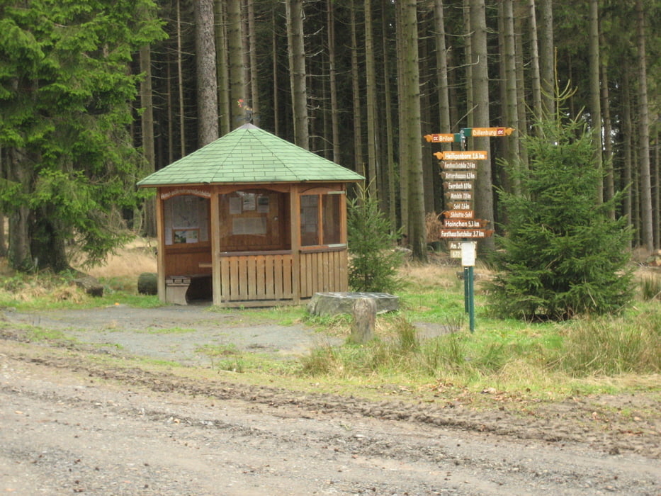
Kurze Fahrt auf Asphalt bis Volkholz, dort den Berg hinauf, weiter bis Heiligenborn, am Friedhof vorbei bis Zum Jagdberg, von dort einen kleinen Schlenker zum Lahnhof (Lahnquelle).
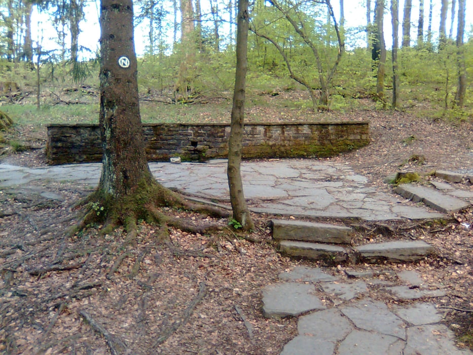
Kurz auf Asphalt zur Siegquelle, bis Abzweig Benfe, links in die Büsche zum Forsthaus Hohenroth,
Wo es Sonntags immer leckeren Kuchen gibt, rechts ab zur Ederquelle ( auf Schilder Achten), dann die Eder hinunter bis zum Altenteich jetzt nicht schon verausgaben, denn der nächste Anstieg hat's in sich, ein wunderschönes Tal hinunter am Seebachsweiher (Seerosen ohne Ende) vorbei zum letzten Anstieg auf die Oberndorfer Dell kurz später dann freier Fall zum Startpunkt.
Viel Spass
Tour gallery
Tour map and elevation profile
Minimum height 413 m
Maximum height 677 m
More about the tour author
|
|
Yetie |
Comments

Anfahrt nach Bad Laasphe Oberndorf bei der Kirche, dort sind jede Menge Parkplätze, ist nicht zu verfehlen.
Ansonsten kann man an jedem beliebigen Ort an dem Track starten, da es eine Rundtour ist.
GPS tracks
Trackpoints-
GPX / Garmin Map Source (gpx) download
-
TCX / Garmin Training Center® (tcx) download
-
CRS / Garmin Training Center® (crs) download
-
Google Earth (kml) download
-
G7ToWin (g7t) download
-
TTQV (trk) download
-
Overlay (ovl) download
-
Fugawi (txt) download
-
Kompass (DAV) Track (tk) download
-
Track data sheet (pdf) download
-
Original file of the author (gpx) download
More about the tour author
|
|
Yetie |
Add to my favorites
Remove from my favorites
Edit tags
Open track
My score
Rate