Login

Forgotten password?

Cookies have to be accepted!
Your browser's cookie functionality is disabled. Please enable this functionality.

Not a member yet?

Register now
Login

Available for registred users only

Log in to use this feature.

Forgotten password?

Cookies have to be accepted!
Your browser's cookie functionality is disabled. Please enable this functionality.

Not a member yet?

Register now
Filter
Categories
Advanced filters
  • Distance (km)
  • Height
Save filters Reset filter

TrackRank

QRCode

Technical data

Distance11,9 km Height455 m Way down483 m Duration03:48 h:m Date19.11.2009
Scores Author User Landscape Fun factor Fitness Technique

Statistics

653 Views 3 Scores 97 Downloads 4.00 Average
Rate
  • Track data sheet
  • Directions
  • Downloads
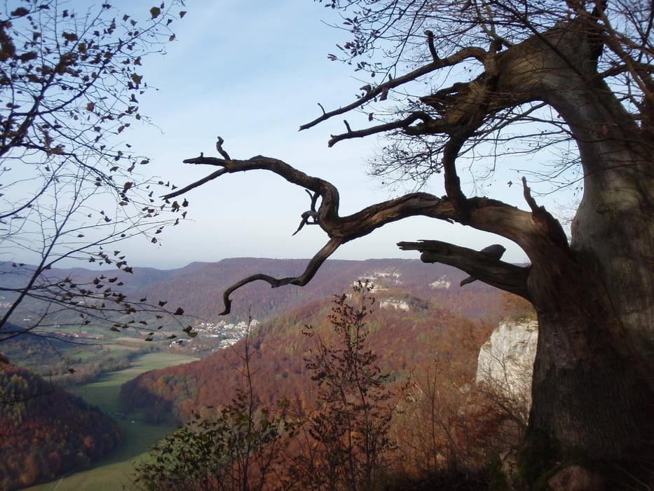
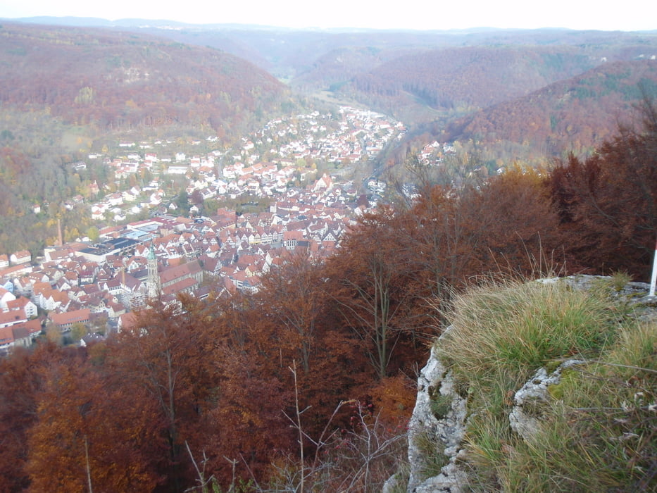
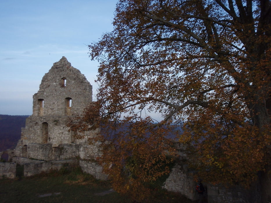
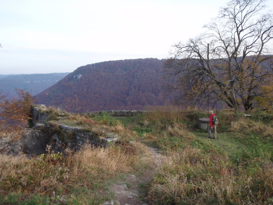
Schöne Nachmittagstour mit fantastischen Ausblicken besonders im Herbst und Winter

Tour gallery

Tour map and elevation profile

  • Open Street Map
  • Google
Minimum height 458 m Maximum height 764 m Detailed view

More about the tour author

Hassor
Member since 2008

Send private message

Comments

Wanderparkplatz zu dem Uracher Wasserfall

GPS tracks

Trackpoints
  • GPX / Garmin Map Source (gpx) download
  • TCX / Garmin Training Center® (tcx) download
  • CRS / Garmin Training Center® (crs) download
  • Google Earth (kml) download
  • G7ToWin (g7t) download
  • TTQV (trk) download
  • Overlay (ovl) download
  • Fugawi (txt) download
  • Kompass (DAV) Track (tk) download
  • Track data sheet (pdf) download
  • Original file of the author (gpx) download

More about the tour author

Hassor
Member since 2008

Send private message
Share track
Add to my favorites
Remove from my favorites
Edit tags
My score
Rate
Track: Uracher Wasserfall- Ruine Hohenurach
Type: Hiking
Distance: 11,9 km
Evaluated on:
Duration:
Day(s)
Hour(s)
Minute(s)
Score: Landscape Fun factor Fitness Technique