Login

Forgotten password?

Cookies have to be accepted!
Your browser's cookie functionality is disabled. Please enable this functionality.

Not a member yet?

Register now
Login

Available for registred users only

Log in to use this feature.

Forgotten password?

Cookies have to be accepted!
Your browser's cookie functionality is disabled. Please enable this functionality.

Not a member yet?

Register now
Filter
Categories
Advanced filters
  • Distance (km)
  • Height
Save filters Reset filter

TrackRank

QRCode

Technical data

Distance13,0 km Height178 m Way down261 m Duration03:00 h:m Date29.11.2009
Scores Author Landscape Fun factor Fitness Technique

Statistics

735 Views 1 Score 100 Downloads 3.00 Average
Rate
  • Track data sheet
  • Directions
  • Downloads

Further information at

http://www.eifel-blicke.de

Tour gallery

Tour map and elevation profile

  • Open Street Map
  • Google
Minimum height 478 m Maximum height 634 m Detailed view

More about the tour author

eifeljupp
Member since 2008

Send private message

Comments

ehlersm on 18.10.2012

Hätte schöner sein können

Die Tour führt durch einige idyllische Dörfchen, und die Burg Reifferscheid ist definitiv sehenswert. Am besten natürlich Freitag bis Sonntag, dann hat auch das Cafe geöffnet. Leider führt die Strecke zu 80% und mehr auf asphaltierten Nebenstraßen, die zum Teil gut befahren sind entlang. Ich hätte daher die Landschaft eher mit 3 Sternen bewertet, Spaßfaktor dito.

Vielen Dank für diese Runde!
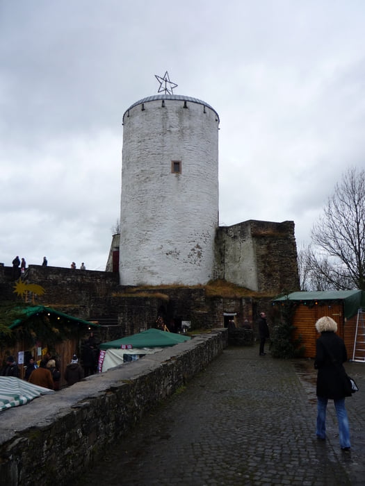
Von der A 1 , Abfahrt Wißkirchen fahren wir über  die B 266 bis nach Gemünd . Im Ort biegt man links auf die Bundesstraße in Richtung Scvhleiden ab . In Hellenthal im Kreisverkehr biegen wir rechts auf die Aachener Str. und dann links wieder auf die Oleftalstraße ab . Auf der Straße bleiben wir bis zur Staumauer wo man genügend Parkplätze vorfindet .

GPS tracks

Trackpoints
  • GPX / Garmin Map Source (gpx) download
  • TCX / Garmin Training Center® (tcx) download
  • CRS / Garmin Training Center® (crs) download
  • Google Earth (kml) download
  • G7ToWin (g7t) download
  • TTQV (trk) download
  • Overlay (ovl) download
  • Fugawi (txt) download
  • Kompass (DAV) Track (tk) download
  • Track data sheet (pdf) download
  • Original file of the author (gpx) download

More about the tour author

eifeljupp
Member since 2008

Send private message
Share track
Add to my favorites
Remove from my favorites
Edit tags
My score
Rate
Track: Von Hellenthal zur Burg Reifferscheid
Type: Hiking
Distance: 13,0 km
Evaluated on:
Duration:
Day(s)
Hour(s)
Minute(s)
Score: Landscape Fun factor Fitness Technique